


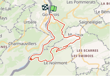

13,8 km | 18,8 km-effort


Gebruiker


Gratisgps-wandelapplicatie
 SityTrail
IGN / Geografische instituten
SityTrail World
De wereld gaat voor u open
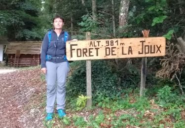
Tocht Stappen van 20 km beschikbaar op Bourgondië-Franche-Comté, Doubs, Goumois. Deze tocht wordt voorgesteld door TRIMAILLE.
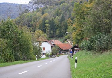
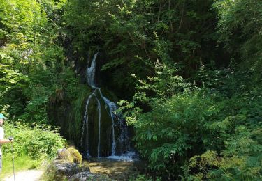
Départ de Goumois. La randonnée s'effectue principalement sur le versant Suisse.
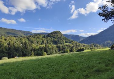
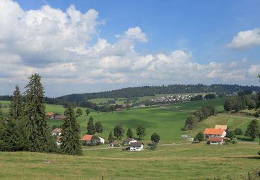
Aux arêtes de Sommètres allé/ retour à la croix et au refuge; jolie vue sur la vallée du Doubs jusqu'aux Vosges..
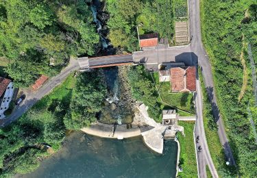
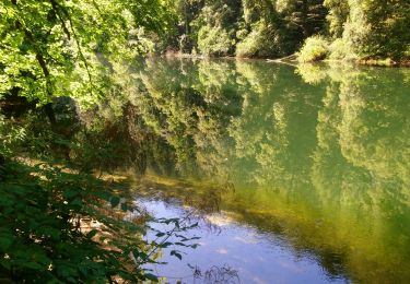
Les derniers Kms s'effectuent sur un bon chemin au bord du Doubs.
Stappen
Te voet
Te voet
Te voet
Stappen
Stappen

Te voet
Stappen
Stappen