


7,7 km | 8,6 km-effort


Gebruiker


Gratisgps-wandelapplicatie
 SityTrail
IGN / Geografische instituten
SityTrail World
De wereld gaat voor u open
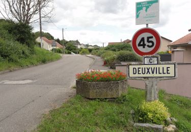
Tocht Stappen van 11,8 km beschikbaar op Grand Est, Meurthe-et-Moselle, Dombasle-sur-Meurthe. Deze tocht wordt voorgesteld door DanielROLLET.
2021 08 26 9h05 à 11h30 - marche nordique Rando 54 - 10 personnes
Temps couvert et frais mais calme
Te voet
Elektrische fiets
Stappen
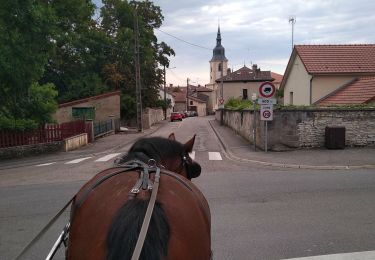
Huifkarwandeling

Stappen

Mountainbike

Stappen

Noords wandelen
Noords wandelen