


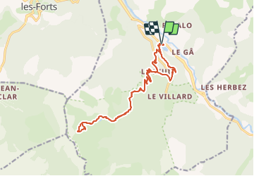

11,9 km | 22 km-effort

Gebruiker


Gratisgps-wandelapplicatie
 SityTrail
IGN / Geografische instituten
SityTrail World
De wereld gaat voor u open
Tocht Stappen van 19,4 km beschikbaar op Provence-Alpes-Côte d'Azur, Alpes-de-Haute-Provence, Le Lauzet-Ubaye. Deze tocht wordt voorgesteld door manumax.
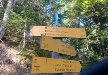
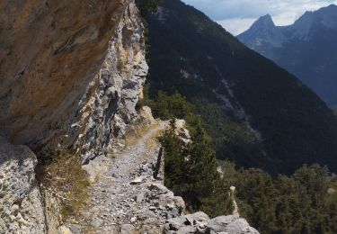
Rando faîtes cet été le 21/08/2021, piste pas toujours marqué au début, Fort dénivelé
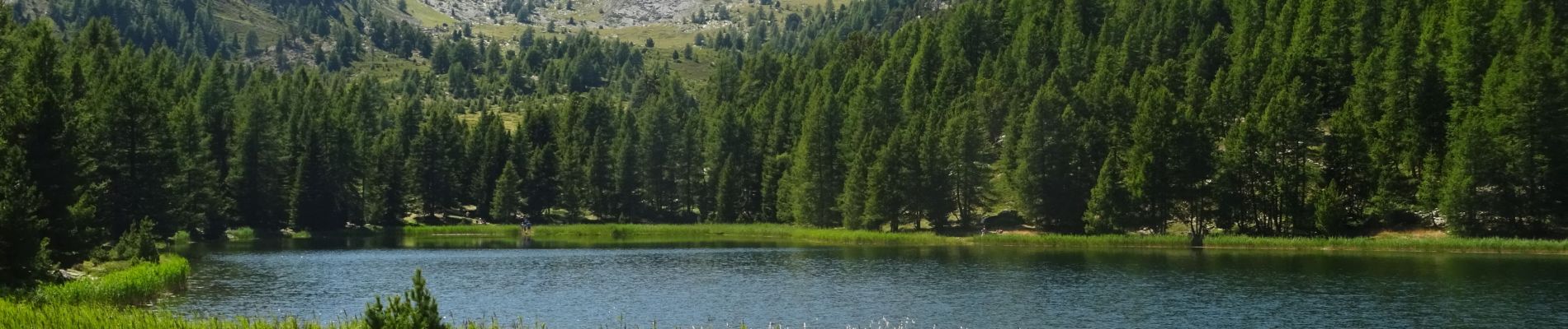
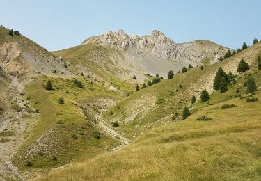
Le lac de Cabane était sec
Les lacs du Milieu et Noir, très jolis paysages magnifiques, superbes vues sur les sommets
Des Framboises, des myrtilles sauvage, des Fraises des bois sur le chemin
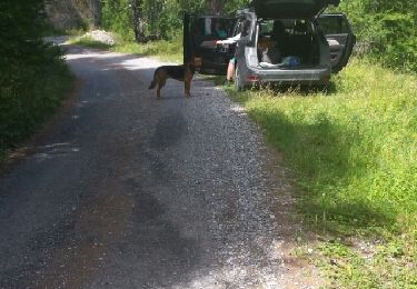
 - Photo 1")
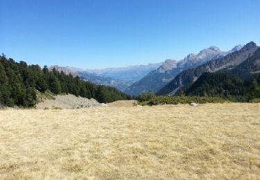
 - Photo 2")
Stappen
Stappen

Stappen
Stappen
Stappen

Stappen
Stappen

Stappen
Stappen