


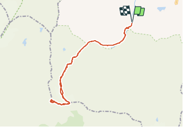


12,6 km | 20 km-effort

Gebruiker GUIDE


Gratisgps-wandelapplicatie
 SityTrail
IGN / Geografische instituten
SityTrail World
De wereld gaat voor u open
Tocht Stappen van 18,4 km beschikbaar op Auvergne-Rhône-Alpes, Savoie, Val-d'Isère. Deze tocht wordt voorgesteld door amiral13.
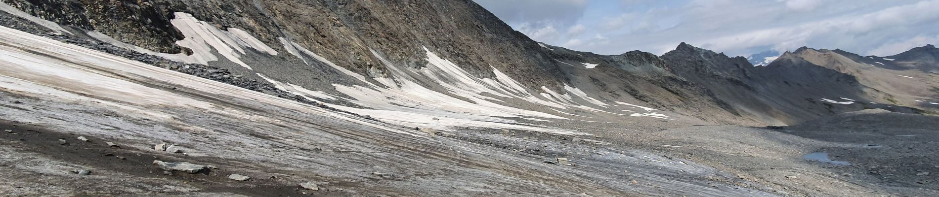
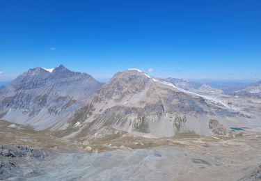
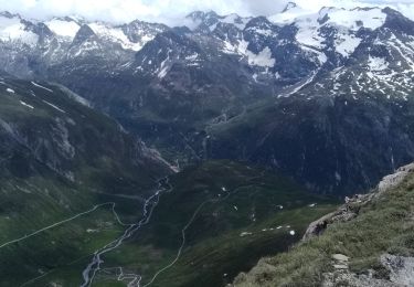
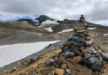
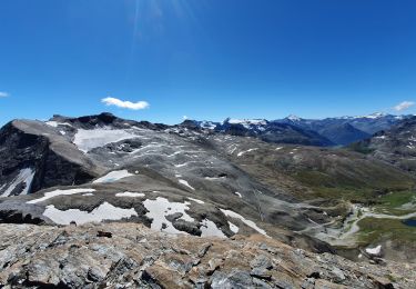
Il s'agit d'une course d'alpinisme, d'où le classement en randonnée très difficile.
En début de saison, il sera nécessaire de prendre tout l'équipement : corde piolet crampons.
En fin de saison, seuls les crampons seront utiles pour la portion de glacier qui n'est pas recouverte de pierres. Il est plus difficile de trouver le bon itinéraire dans le dédale de pierriers qui recouvre le glacier; de même le pierrier qui remplace le glacier de la Sana peut-être éprouvant.


22 fotos in totaal. Klik op een foto om ze allemaal in de galerij weer te geven.

Stappen

Stappen
Stappen

Stappen
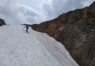
Ski randonnée
Ski randonnée
Stappen
Stappen
Stappen