


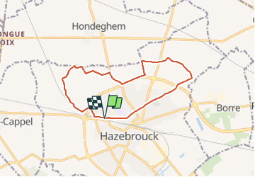


11,5 km | 13,4 km-effort

Gebruiker


Gratisgps-wandelapplicatie
 SityTrail
IGN / Geografische instituten
SityTrail World
De wereld gaat voor u open
Tocht Trail van 12,1 km beschikbaar op Hauts-de-France, Noorderdepartement, Hazebroek. Deze tocht wordt voorgesteld door Laurent Oumar.
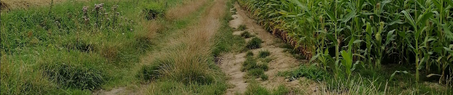
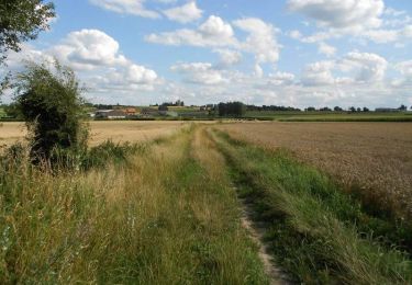
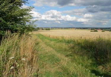
Des chemins faciles à suivre. Un parcours simple, sans difficultés notable. Excellent pour maintenir la forme.


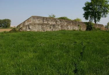
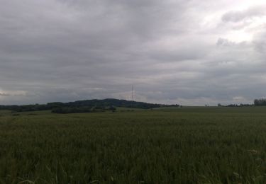
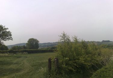
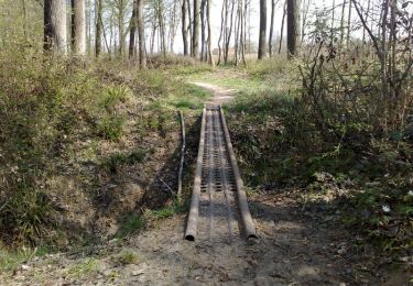
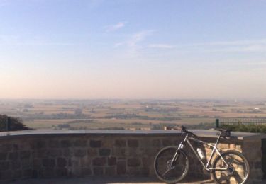
27 fotos in totaal. Klik op een foto om ze allemaal in de galerij weer te geven.
Stappen

Mountainbike

Fiets
Stappen
Mountainbike
Mountainbike
Mountainbike
Mountainbike
Mountainbike