


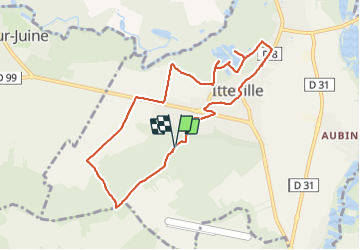


16,8 km | 19,2 km-effort

Gebruiker


Gratisgps-wandelapplicatie
 SityTrail
IGN / Geografische instituten
SityTrail World
De wereld gaat voor u open
Tocht Stappen van 8,5 km beschikbaar op Île-de-France, Essonne, Itteville. Deze tocht wordt voorgesteld door guydu41.
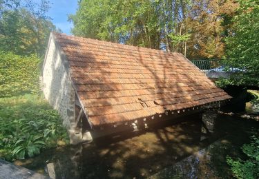
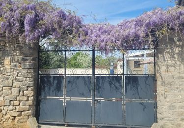
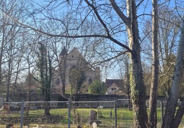
Joli circuit à la découverte du bourg d'Itteville, les sentiers parmi les marais à proximité de la Juine, les observatoires d'oiseaux avec des cabanes d'affût (des Aigrettes, de l'Avau, des Blongios), le menhir "la Roche à Gentil", les chemins boisés sur la "Butte d'Itteville" avec son site géologique aménagé "la Sablière du chemin d'Orgemont".


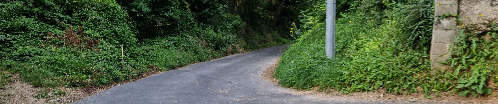
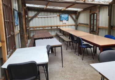
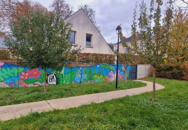
28 fotos in totaal. Klik op een foto om ze allemaal in de galerij weer te geven.

Stappen

Mountainbike
Stappen
Te voet

Stappen

Stappen
Stappen
Te voet
Te voet