


10,1 km | 14,2 km-effort

Gebruiker


Gratisgps-wandelapplicatie
 SityTrail
IGN / Geografische instituten
SityTrail World
De wereld gaat voor u open
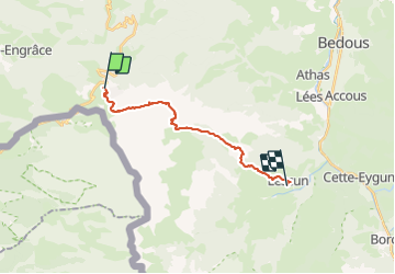
Tocht Stappen van 16,8 km beschikbaar op Nieuw-Aquitanië, Pyrénées-Atlantiques, Arette. Deze tocht wordt voorgesteld door LEGUE.
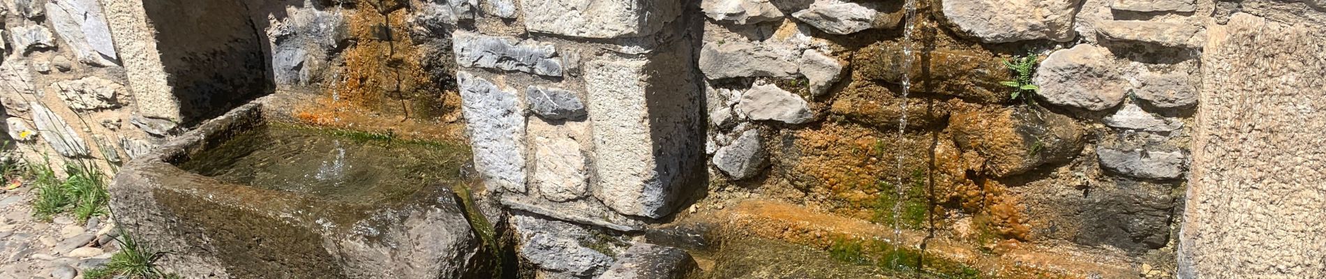
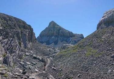
Très très belle étape dans un environnement minéral
16,7 Km 511 , 1288 -
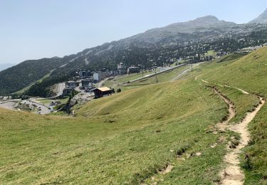
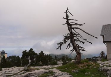
Grand beau
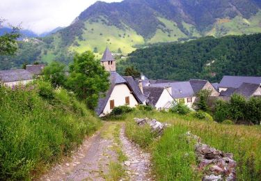
Village de Lescun magnifique


Te voet
Te voet
Stappen
Stappen
Stappen

Andere activiteiten
Stappen

Stappen

Te voet