


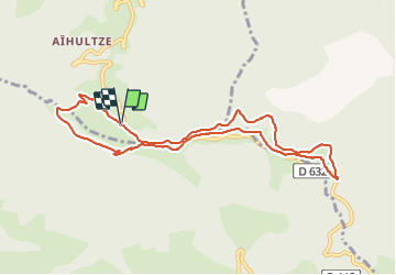

16,8 km | 26 km-effort

Gebruiker GUIDE


Gratisgps-wandelapplicatie
 SityTrail
IGN / Geografische instituten
SityTrail World
De wereld gaat voor u open
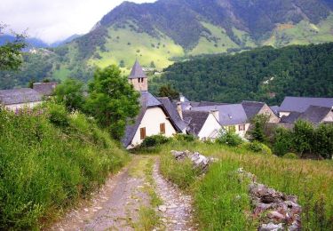
Tocht Te voet van 10,1 km beschikbaar op Nieuw-Aquitanië, Pyrénées-Atlantiques, Lanne-en-Barétous. Deze tocht wordt voorgesteld door marmotte65.
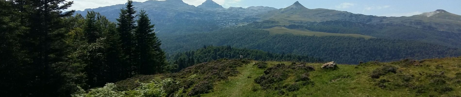
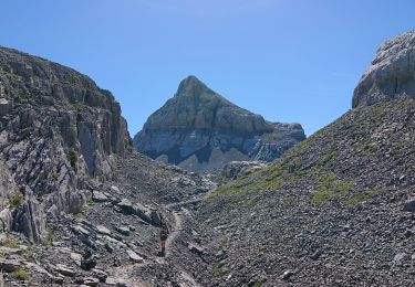
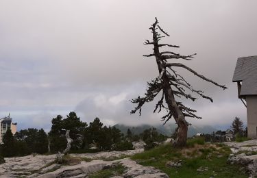
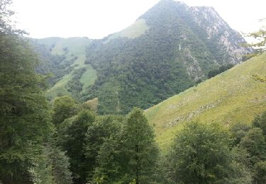
Reco des crêtes d'Issarbe ave une variante qui ne sera pas faite le jour de la rando avec LPC belle ballade avec des points de vue epoustouflant a ne faire que par beau temps


Stappen
Stappen
Stappen
Stappen

Andere activiteiten
Stappen

Stappen

Te voet
Stappen