Tocht Stappen Labastide-en-Val - Le chemin des panoramas à Labastide-en-Val (variante) - Photo

Le chemin des panoramas à Labastide-en-Val (variante)

 PI11
PI11

Gebruiker

© OpenStreetMap contributors
Lengte
Lengte
16,7 km
Max. hoogte
Max. hoogte
697 m
Positief hoogteverschil
543 m
Km-Effort
Km-Effort  
24 km
Min. hoogte
Min. hoogte
245 m
Negatief hoogteverschil
543 m
Boucle
Boucle
Ja
Datum van aanmaak :
2021-08-08 08:32:47.933
Laatste wijziging :
2021-08-08 21:29:30.506

(0 Bericht)

Stappen
Stappen
5h00
Moeilijkheid : Medium

Scan deze QR-code om de tocht te openen in de SityTrail-applicatie

Gratisgps-wandelapplicatie

Logo SityTrail SityTrail
IGN / Geografische instituten

SityTrail uit de App Store downloaden SityTrail uit Google Play downloaden

Logo SityTrail SityTrail World

De wereld gaat voor u open

SityTrail uit de App Store downloaden SityTrail uit Google Play downloaden SityTrail op Huawei AppGallery downloaden

Over ons

Tocht Stappen van 16,7 km beschikbaar op Occitanië, Aude, Labastide-en-Val. Deze tocht wordt voorgesteld door PI11.

Beschrijving

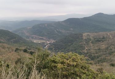
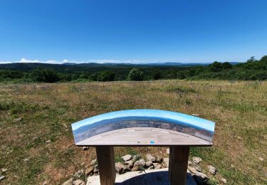
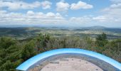
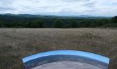
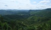
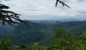
Lacamp's plateau that dominates Val de Dagna offers many points of view. Garrigue, communal forest (beeches and oaks) and domaniale (fir and cedars). This trail passes through two orientation tables that make the Black Mountain discover and the Pyrenees. He led to bouisson, a day of walking crossing the Lacamp plateau.

Hoogteprofiel

Foto's

Plaatsbepaling

Land:
France
Regio :
Occitanië
Departement/Provincie :
Aude
Gemeente :
Labastide-en-Val
Locatie:
Unknown
Vertrek:(UTM)
457092 ; 4769332 (31T) N.

Wandeltochten in de omgeving

Tocht Stappen Labastide-en-Val - Labastide en val- Plateau Lacamp - Photo
Stappen
GUIDE
Ada11

Stappen

Medium
Labastide-en-Val, Occitanië, Aude, France
20 km | 28 km-effort
5h 4min
Ja
Tocht Stappen Taurize - Taurize - Photo
Stappen
Christophe Ferreres

Stappen

Moeilijk
Taurize, Occitanië, Aude, France
10,4 km | 15,4 km-effort
3h 20min
Ja
Tocht Noords wandelen Labastide-en-Val - Michel_Picard_2022-05-29_09-51-49 - Photo
Noords wandelen
mipi31

Noords wandelen

Moeilijk
Labastide-en-Val, Occitanië, Aude, France
18,7 km | 26 km-effort
Onbekend
Ja
Tocht Stappen Taurize - le roc du Causse - Photo
Stappen
Mascart

Stappen

Medium
Taurize, Occitanië, Aude, France
11,5 km | 16,5 km-effort
3h 52min
Ja
Tocht Stappen Taurize - Taurize - Photo
Stappen
Villatet

Stappen

Medium
Taurize, Occitanië, Aude, France
11,7 km | 16,9 km-effort
3h 24min
Ja
Tocht Stappen Villar-en-Val - sentier en poésie - Photo
Stappen
Mascart

Stappen

Gemakkelijk
Villar-en-Val, Occitanië, Aude, France
6,4 km | 8,6 km-effort
2h 23min
Ja
Tocht Stappen Taurize - Taurize et le Pech Taurillou - Photo
Stappen
SoleilMoussanais

Stappen

Medium
Taurize, Occitanië, Aude, France
6,3 km | 9,4 km-effort
18h 50min
Ja
Tocht Stappen Taurize - taurize - Photo
Stappen
Mascart

Stappen

Medium
Taurize, Occitanië, Aude, France
9,2 km | 14,1 km-effort
4h 22min
Neen
Tocht Te voet Mayronnes - Boucle de Mayronnes - Photo
Te voet
PI11

Te voet

Gemakkelijk
Mayronnes, Occitanië, Aude, France
10,5 km | 15,5 km-effort
3h 31min
Ja


Sluiten
Mijn abonnementen