


58 km | 74 km-effort

Gebruiker


Gratisgps-wandelapplicatie
 SityTrail
IGN / Geografische instituten
SityTrail World
De wereld gaat voor u open
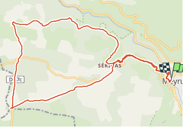
Tocht Stappen van 15,2 km beschikbaar op Occitanië, Lozère, Meyrueis. Deze tocht wordt voorgesteld door Bart2015.
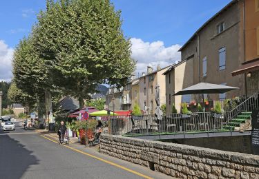
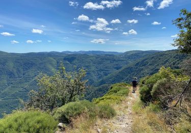
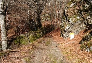
Belle randonnée dans les Gorges de la Jonte : beaucoup de fleurs et de papillons à découvrir le long du sentier. Les gorges sont hélas souvent masquées par la végétation. Possibilité d'aller à la grotte de Dargilan en suivant la route (non fait dans cette rando).
Autre curiosité du coin : après la randonnée, pourquoi ne pas aller visiter la brasserie de la Bière de la Jonte au village de Gatuzières (vers 17h à vérifier).
Bonne rando ...


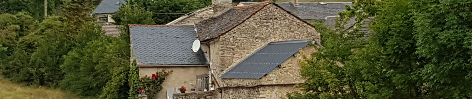
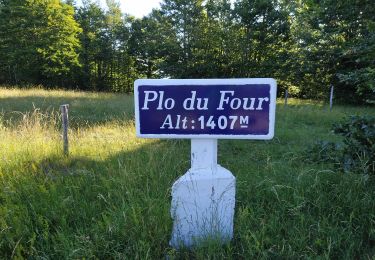
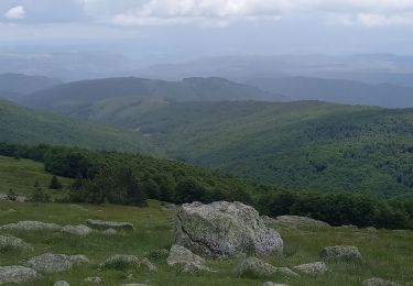
30 fotos in totaal. Klik op een foto om ze allemaal in de galerij weer te geven.
Wegfiets
Stappen
Te voet
Stappen

Mountainbike

Stappen
Stappen
a faire