


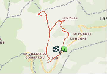

26 km | 53 km-effort


Gebruiker


Gratisgps-wandelapplicatie
 SityTrail
IGN / Geografische instituten
SityTrail World
De wereld gaat voor u open
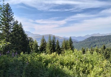
Tocht van 8,6 km beschikbaar op Auvergne-Rhône-Alpes, Haute-Savoie, La Côte-d'Arbroz. Deze tocht wordt voorgesteld door olivieraron.
Départ du Col de l'Encrenaz, marcher jusqu'au hameau "Les Paquis", puis col de la Basse, puis col Ratti, retour au col de la Basse, puis col de l'Encrenaz. Comptez 3h30 hors pause pique nuque.

Noords wandelen

Stappen
Stappen

Stappen
Stappen
Ski randonnée

Stappen

Noords wandelen
Stappen