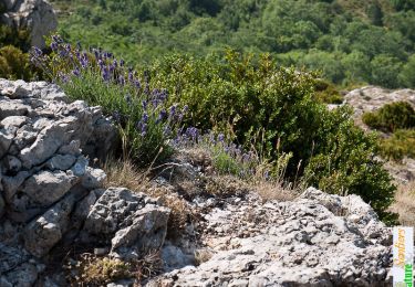
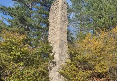
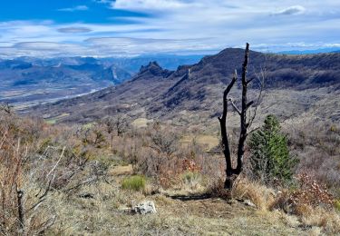
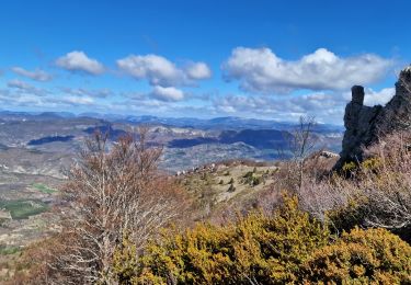
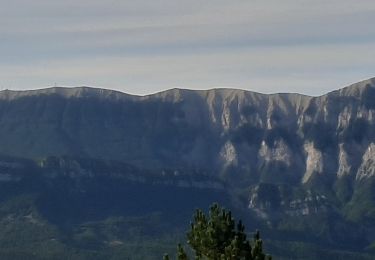
Tocht Stappen Saint-Vincent-sur-Jabron - SAINT VINCENT DU JABRON.  Aubard,  col de Verdun , le pied du mulet o l m s  - Photo

SAINT VINCENT DU JABRON. Aubard, col de Verdun , le pied du mulet o l m s

 RobinMicheline
RobinMicheline

Gebruiker GUIDE

© OpenStreetMap contributors
Lengte
Lengte
13,3 km
Max. hoogte
Max. hoogte
1526 m
Positief hoogteverschil
707 m
Km-Effort
Km-Effort  
23 km
Min. hoogte
Min. hoogte
873 m
Negatief hoogteverschil
705 m
Boucle
Boucle
Ja
Datum van aanmaak :
2021-08-01 04:40:38.2
Laatste wijziging :
2021-08-01 17:09:31.982

(0 Bericht)

Stappen
Stappen
3h48
Moeilijkheid : Medium

Scan deze QR-code om de tocht te openen in de SityTrail-applicatie

Gratisgps-wandelapplicatie

Logo SityTrail SityTrail

IGN / Geografische instituten

SityTrail uit de App Store downloaden SityTrail uit Google Play downloaden

Logo SityTrail SityTrail World

De wereld gaat voor u open

SityTrail uit de App Store downloaden SityTrail uit Google Play downloaden SityTrail op Huawei AppGallery downloaden

Over ons

Tocht Stappen van 13,3 km beschikbaar op Provence-Alpes-Côte d'Azur, Alpes-de-Haute-Provence, Saint-Vincent-sur-Jabron. Deze tocht wordt voorgesteld door RobinMicheline.

Beschrijving

Bien indiquer  , facile , sympa , belle vue

Hoogteprofiel

Foto's

Plaatsbepaling

Land:
France
Regio :
Provence-Alpes-Côte d'Azur
Departement/Provincie :
Alpes-de-Haute-Provence
Gemeente :
Saint-Vincent-sur-Jabron
Locatie:
Unknown
Vertrek:(UTM)
718380 ; 4895624 (31T) N.

Wandeltochten in de omgeving

Tocht Stappen Saint-Vincent-sur-Jabron - SAINT VINCENT DU JABRON . Aubard ,  vieux Curel  , chateau des Graves o l s  - Photo
Stappen
GUIDE
RobinMicheline

Stappen

Moeilijk
(1)
Saint-Vincent-sur-Jabron, Provence-Alpes-Côte d'Azur, Alpes-de-Haute-Provence, France
16,1 km | 24 km-effort
4h 53min
Ja
Tocht Stappen Saint-Vincent-sur-Jabron - Traversée de la Montagne de Mare depuis Aubard - Photo
Stappen
tracegps

Stappen

Gemakkelijk
(1)
Saint-Vincent-sur-Jabron, Provence-Alpes-Côte d'Azur, Alpes-de-Haute-Provence, France
13,3 km | 23 km-effort
5h 45min
Ja
Tocht Stappen Saint-Vincent-sur-Jabron - 2024-10-13 Saint Vincent sur Jabron- Pas de Parandier - Photo
Stappen
GUIDE
Kargil

Stappen

Zeer moeilijk
Saint-Vincent-sur-Jabron, Provence-Alpes-Côte d'Azur, Alpes-de-Haute-Provence, France
14,1 km | 22 km-effort
5h 1min
Ja
Tocht Stappen Noyers-sur-Jabron - SityTrail - NOYERS SUR JABRON  , S Martin  , col S Pierre , cretes de l ane n - Photo
Stappen
GUIDE
Marco05

Stappen

Moeilijk
Noyers-sur-Jabron, Provence-Alpes-Côte d'Azur, Alpes-de-Haute-Provence, France
13,3 km | 24 km-effort
5h 28min
Ja
Tocht Stappen Éourres - EOURRES.  Les Damias , col S Pierre , col de Branche , crête de Chanteduc , o l m s - Photo
Stappen
GUIDE
RobinMicheline

Stappen

Gemakkelijk
Éourres, Provence-Alpes-Côte d'Azur, Hautes-Alpes, France
10 km | 17,9 km-effort
3h 3min
Ja
Tocht Stappen Saint-Vincent-sur-Jabron - SAINT VINCENT SUR JABRON. Pas de Parandier  ,montagne S Michel o n - Photo
Stappen
GUIDE
RobinMicheline

Stappen

Medium
Saint-Vincent-sur-Jabron, Provence-Alpes-Côte d'Azur, Alpes-de-Haute-Provence, France
14,4 km | 23 km-effort
4h 13min
Ja
Tocht Stappen Éourres - mare et pied du mulet - Photo
Stappen
y39c43l

Stappen

Gemakkelijk
(1)
Éourres, Provence-Alpes-Côte d'Azur, Hautes-Alpes, France
12,2 km | 23 km-effort
5h 47min
Neen
Tocht Stappen Saint-Vincent-sur-Jabron - Crête Montagne de Mare Via St Vincent sur Jabron - Photo
Stappen
PapouBertrand

Stappen

Zeer moeilijk
Saint-Vincent-sur-Jabron, Provence-Alpes-Côte d'Azur, Alpes-de-Haute-Provence, France
14,8 km | 25 km-effort
5h 44min
Ja
Tocht Stappen Noyers-sur-Jabron - NOYERS SUR JABRON  , S Martin  , col S Pierre , cretes de l ane n - Photo
Stappen
GUIDE
RobinMicheline

Stappen

Moeilijk
Noyers-sur-Jabron, Provence-Alpes-Côte d'Azur, Alpes-de-Haute-Provence, France
13,3 km | 24 km-effort
4h 38min
Ja


Sluiten
Mijn abonnementen