Tocht Stappen Lagney - LAGNEY - LES VILLAGES DE LA CÔTE DE TOUL - Photo

LAGNEY - LES VILLAGES DE LA CÔTE DE TOUL

© OpenStreetMap contributors
Lengte
Lengte
21 km
Max. hoogte
Max. hoogte
386 m
Positief hoogteverschil
410 m
Km-Effort
Km-Effort  
26 km
Min. hoogte
Min. hoogte
243 m
Negatief hoogteverschil
413 m
Boucle
Boucle
Ja
Datum van aanmaak :
2021-07-29 06:38:30.807
Laatste wijziging :
2021-07-29 16:00:14.339

(0 Bericht)

Stappen
Stappen
8h27
Moeilijkheid : Medium

Scan deze QR-code om de tocht te openen in de SityTrail-applicatie

Gratisgps-wandelapplicatie

Logo SityTrail SityTrail

IGN / Geografische instituten

SityTrail uit de App Store downloaden SityTrail uit Google Play downloaden

Logo SityTrail SityTrail World

De wereld gaat voor u open

SityTrail uit de App Store downloaden SityTrail uit Google Play downloaden SityTrail op Huawei AppGallery downloaden

Over ons

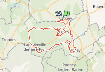
Tocht Stappen van 21 km beschikbaar op Grand Est, Meurthe-et-Moselle, Lagney. Deze tocht wordt voorgesteld door jean-marie.parachini.

Beschrijving

randonnée depuis Lagney en passant par les vignobles de Lucey le fort de Lucey Laneuveville-derrière-Foug le fort de Bruley les vignobles de Bruley.

Hoogteprofiel

Foto's

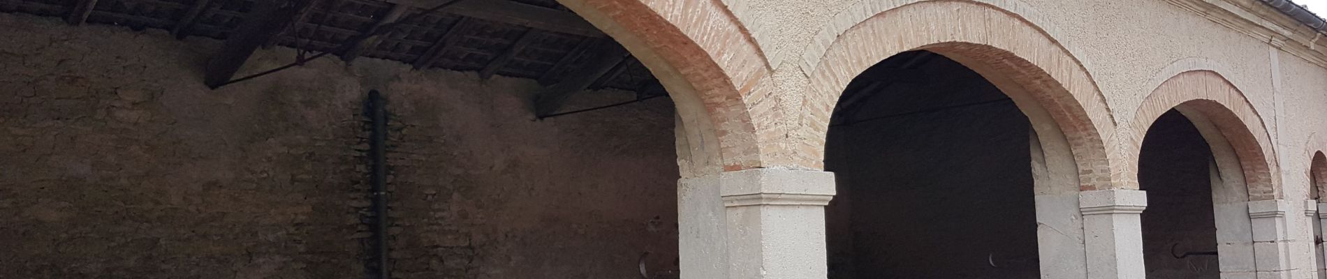
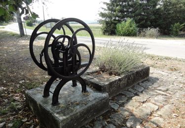
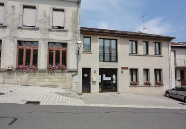
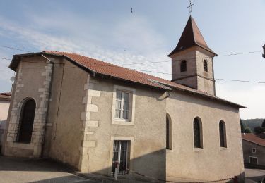
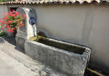
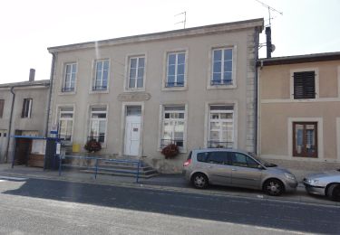
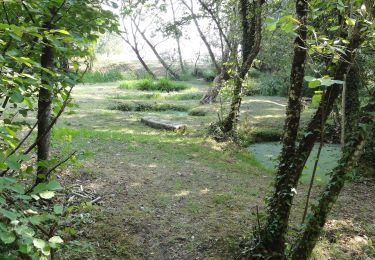
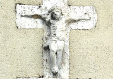
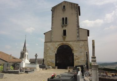
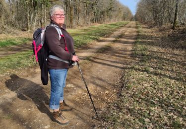
36 fotos in totaal. Klik op een foto om ze allemaal in de galerij weer te geven.

Plaatsbepaling

Land:
France
Regio :
Grand Est
Departement/Provincie :
Meurthe-et-Moselle
Gemeente :
Lagney
Locatie:
Unknown
Vertrek:(UTM)
708570 ; 5401493 (31U) N.

Wandeltochten in de omgeving

Tocht Te voet Ménil-la-Tour - Boucle du Terrouin - Photo
Te voet
GUIDE+

Te voet

Medium
Ménil-la-Tour, Grand Est, Meurthe-et-Moselle, France
25 km | 28 km-effort
6h 22min
Ja
Tocht Te voet Bruley - Circuit de la Petite Linotte - Photo
Te voet
GUIDE+

Te voet

Gemakkelijk
Bruley, Grand Est, Meurthe-et-Moselle, France
9,2 km | 12 km-effort
2h 43min
Neen
Tocht Te voet Laneuveville-derrière-Foug - Circuit de Domfontaine - Photo
Te voet
GUIDE+

Te voet

Gemakkelijk
Laneuveville-derrière-Foug, Grand Est, Meurthe-et-Moselle, France
9,5 km | 12,6 km-effort
2h 51min
Ja
Tocht Te voet Trondes - Circuit du Romont - Photo
Te voet
GUIDE+

Te voet

Gemakkelijk
Trondes, Grand Est, Meurthe-et-Moselle, France
6,8 km | 8,1 km-effort
1h 50min
Ja
Tocht Te voet Lucey - Circuit des Vignes - Photo
Te voet
GUIDE+

Te voet

Gemakkelijk
Lucey, Grand Est, Meurthe-et-Moselle, France
4,2 km | 5,2 km-effort
1h 11min
Ja
Tocht Te voet Lagney - Circuit des Forts - Photo
Te voet
GUIDE+

Te voet

Gemakkelijk
Lagney, Grand Est, Meurthe-et-Moselle, France
8,3 km | 10,6 km-effort
2h 24min
Neen
Tocht Te voet Laneuveville-derrière-Foug - Circuit du Point du Jour - Photo
Te voet
GUIDE+

Te voet

Gemakkelijk
Laneuveville-derrière-Foug, Grand Est, Meurthe-et-Moselle, France
6,8 km | 8 km-effort
1h 49min
Neen
Tocht Te voet Pagney-derrière-Barine - Circuit du Val des Nonnes - Photo
Te voet
GUIDE+

Te voet

Gemakkelijk
Pagney-derrière-Barine, Grand Est, Meurthe-et-Moselle, France
14,9 km | 19 km-effort
4h 19min
Ja
Tocht Stappen Bruley - Bruley Lucey - Photo
Stappen
papounet56

Stappen

Gemakkelijk
Bruley, Grand Est, Meurthe-et-Moselle, France
10,2 km | 13,2 km-effort
3h 41min
Ja


Sluiten
Mijn abonnementen