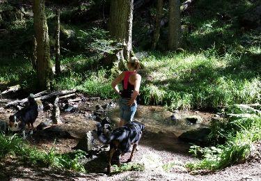
Tocht Stappen Thann - Croque en montagne - Ski Club de Cernay - Photo

Croque en montagne - Ski Club de Cernay

 helmut68
helmut68

Gebruiker

© OpenStreetMap contributors
Lengte
Lengte
22 km
Max. hoogte
Max. hoogte
1091 m
Positief hoogteverschil
959 m
Km-Effort
Km-Effort  
34 km
Min. hoogte
Min. hoogte
335 m
Negatief hoogteverschil
958 m
Boucle
Boucle
Ja
Datum van aanmaak :
2021-07-18 07:10:55.143
Laatste wijziging :
2021-07-21 21:10:02.086

(0 Bericht)

Stappen
Stappen
6h14
Moeilijkheid : Medium

Scan deze QR-code om de tocht te openen in de SityTrail-applicatie

Gratisgps-wandelapplicatie

Logo SityTrail SityTrail
IGN / Geografische instituten

SityTrail uit de App Store downloaden SityTrail uit Google Play downloaden

Logo SityTrail SityTrail World
De wereld gaat voor u open

SityTrail uit de App Store downloaden SityTrail uit Google Play downloaden SityTrail op Huawei AppGallery downloaden

Over ons

Tocht Stappen van 22 km beschikbaar op Grand Est, Haut-Rhin, Thann. Deze tocht wordt voorgesteld door helmut68.

Beschrijving

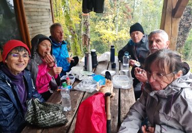
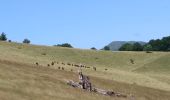
Belle randonnée pour rejoindre le refuge du Molkenrain ou une petite restauration et boisson sur sa terrasse selon une formule libre et conviviale vous est proposé...
Départ parking de la Tour des sorcières, montée par le col du Grumbach , le Camp des Pyramides , le Camp Turenne , le refuge AN en suivant tout le long le balisage " rectangle rouge ".
Pour le retour une fois arrivée à nouveau au Camp Turenne , suivez le balisage " rouge blanc rouge " jusqu'à Thann .
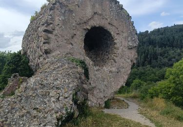
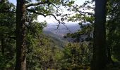
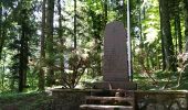
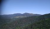
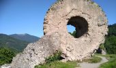
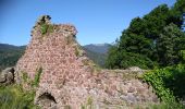
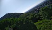
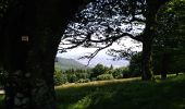
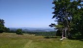
A l'aller comme  pour le retour les points d'intérêts comme le chateau d'Engelbourg, le Rocher d'Ostein ,le  Chêne Wotan ou  et la Croix du Rangen vous offrent des vues exceptionnelles ...
Alors à vos chaussures !

Hoogteprofiel

Foto's

21 fotos in totaal. Klik op een foto om ze allemaal in de galerij weer te geven.

POI's

POI Wattwiller - Refuge du Molkenrain - Photo
helmut68

Plaatsbepaling

Land:
France
Regio :
Grand Est
Departement/Provincie :
Haut-Rhin
Gemeente :
Thann
Locatie:
Unknown
Vertrek:(UTM)
358105 ; 5297150 (32T) N.

Wandeltochten in de omgeving

Tocht Andere activiteiten Steinbach - lac du ballon - Photo
Andere activiteiten
rodabruna

Andere activiteiten

Heel gemakkelijk
(1)
Steinbach, Grand Est, Haut-Rhin, France
33 km | 64 km-effort
5h 1min
Neen
Tocht Stappen Bourbach-le-Haut - 2024-01-12_14h17m14_239006910 - Photo
Stappen
GUIDE
mumu.larandonneuse

Stappen

Moeilijk
Bourbach-le-Haut, Grand Est, Haut-Rhin, France
11,4 km | 18,5 km-effort
4h 12min
Ja
Tocht Stappen Thann - SityTrail - 2489713 - thann-roche--albert--grumbachkopf - Photo
Stappen
argonneuweg

Stappen

Medium
(1)
Thann, Grand Est, Haut-Rhin, France
7,6 km | 12 km-effort
2h 28min
Ja
Tocht Te voet Bitschwiller-lès-Thann - Bitschwiller les Thann - Rehbrunnel - Abri du Becherkopf - Roche Albert - Photo
Te voet
patrickbeyrath

Te voet

Medium
(1)
Bitschwiller-lès-Thann, Grand Est, Haut-Rhin, France
10,3 km | 16,4 km-effort
Onbekend
Ja
Tocht Stappen Bitschwiller-lès-Thann - 68 Col du Hundsrück  - FA Gsang - retour ThannerHubel - Photo
Stappen

Stappen

Medium
(1)
Bitschwiller-lès-Thann, Grand Est, Haut-Rhin, France
11,2 km | 18,4 km-effort
3h 48min
Ja
Tocht Stappen Steinbach - Cascade de Erzenbach - Photo
Stappen
dudu42

Stappen

Medium
Steinbach, Grand Est, Haut-Rhin, France
6 km | 8,8 km-effort
1h 32min
Ja
Tocht Stappen Thann - Entre Thann et le Molkenrain - Photo
Stappen
oscar1

Stappen

Moeilijk
Thann, Grand Est, Haut-Rhin, France
24 km | 39 km-effort
8h 47min
Ja
Tocht Elektrische fiets Thann - Thann lac de Kruth  - Photo
Elektrische fiets
apa

Elektrische fiets

Medium
Thann, Grand Est, Haut-Rhin, France
49 km | 58 km-effort
4h 2min
Ja
Tocht Stappen Steinbach - Rando CLAS du 02/11/2023 - Photo
Stappen
boubou68

Stappen

Zeer moeilijk
Steinbach, Grand Est, Haut-Rhin, France
17,7 km | 27 km-effort
4h 35min
Ja


Sluiten
Mijn abonnementen