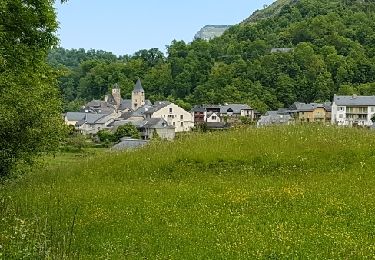
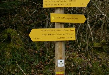
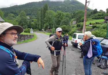
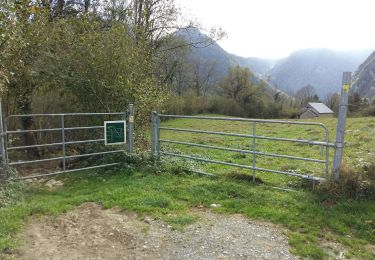
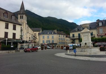
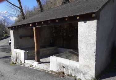
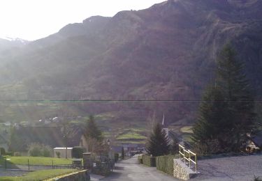
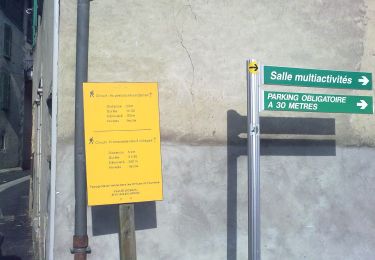
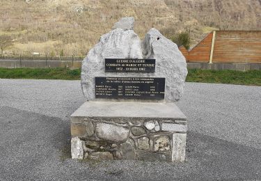
Tocht Stappen Gère-Bélesten - La Fontaine d'Esterets - Photo
 rogerpoirier
rogerpoirier

Gebruiker

© OpenStreetMap contributors
Lengte
Lengte
3,8 km
Max. hoogte
Max. hoogte
825 m
Positief hoogteverschil
296 m
Km-Effort
Km-Effort  
7,8 km
Min. hoogte
Min. hoogte
520 m
Negatief hoogteverschil
295 m
Boucle
Boucle
Ja
Datum van aanmaak :
2021-07-11 13:35:14.525
Laatste wijziging :
2021-07-18 13:47:54.793

(0 Bericht)

Stappen
Stappen
1h44
Moeilijkheid : Medium

Scan deze QR-code om de tocht te openen in de SityTrail-applicatie

Gratisgps-wandelapplicatie

Logo SityTrail SityTrail

IGN / Geografische instituten

SityTrail uit de App Store downloaden SityTrail uit Google Play downloaden

Logo SityTrail SityTrail World

De wereld gaat voor u open

SityTrail uit de App Store downloaden SityTrail uit Google Play downloaden SityTrail op Huawei AppGallery downloaden

Over ons

Tocht Stappen van 3,8 km beschikbaar op Nieuw-Aquitanië, Pyrénées-Atlantiques, Gère-Bélesten. Deze tocht wordt voorgesteld door rogerpoirier.

Beschrijving

Une petite randonnée de mise en jambes, 350 mètres de dénivelé. à faire le matin montée exposée au soleil, mais redescente à l'ombre. Nous avons vu, ce que je crois être des faucons pèlerins en chasse, en plein vol, d'autres oiseaux, que je n'ai pu identifier, n'étant pas assez connaisseur.
En redescendant, ne pas oublier, pour couper la piste Un superbe sentier, balisé jaune comme le reste de la randonnée, qui descend assez rudement en pierre, Par temps humide, ne pas couper la piste.

Hoogteprofiel

Plaatsbepaling

Land:
France
Regio :
Nieuw-Aquitanië
Departement/Provincie :
Pyrénées-Atlantiques
Gemeente :
Gère-Bélesten
Locatie:
Unknown
Vertrek:(UTM)
709654 ; 4766820 (30T) N.

Wandeltochten in de omgeving

Tocht Stappen Béost - Behost - Photo
Stappen
swp648

Stappen

Gemakkelijk
(1)
Béost, Nieuw-Aquitanië, Pyrénées-Atlantiques, France
6 km | 9,9 km-effort
2h 59min
Ja
Tocht Stappen Bielle - Pics de Cambeilh et petit Gerbe  - Photo
Stappen
DuMarsan

Stappen

Gemakkelijk
(1)
Bielle, Nieuw-Aquitanië, Pyrénées-Atlantiques, France
13,7 km | 27 km-effort
5h 24min
Ja
Tocht Stappen Laruns - LARUNS le tour du valentin G3
Stappen
GUIDE
marmotte65

Stappen

Moeilijk
Laruns, Nieuw-Aquitanië, Pyrénées-Atlantiques, France
9,3 km | 15,2 km-effort
3h 27min
Ja
Tocht Stappen Bielle - BIELLE l arriu Mage reco  3443541 - Photo
Stappen
GUIDE
marmotte65

Stappen

Moeilijk
Bielle, Nieuw-Aquitanië, Pyrénées-Atlantiques, France
8,7 km | 14,7 km-effort
2h 47min
Ja
Tocht Te voet Laruns - L'eau - Photo
Te voet
GUIDE+

Te voet

Gemakkelijk
Laruns, Nieuw-Aquitanië, Pyrénées-Atlantiques, France
4,8 km | 5,9 km-effort
1h 20min
Ja
Tocht Te voet Eaux-Bonnes - La montagne verte - Photo
Te voet
GUIDE+

Te voet

Gemakkelijk
Eaux-Bonnes, Nieuw-Aquitanië, Pyrénées-Atlantiques, France
10,4 km | 17,8 km-effort
4h 2min
Ja
Tocht Te voet Louvie-Soubiron - Les carrières - Photo
Te voet
GUIDE+

Te voet

Gemakkelijk
Louvie-Soubiron, Nieuw-Aquitanië, Pyrénées-Atlantiques, France
3,4 km | 7 km-effort
1h 35min
Ja
Tocht Te voet Béost - La promenade des trois villages - Photo
Te voet
GUIDE+

Te voet

Gemakkelijk
Béost, Nieuw-Aquitanië, Pyrénées-Atlantiques, France
5,1 km | 8,6 km-effort
1h 56min
Ja
Tocht Te voet Gère-Bélesten - La fontaine d'Esteret - Photo
Te voet
GUIDE+

Te voet

Gemakkelijk
Gère-Bélesten, Nieuw-Aquitanië, Pyrénées-Atlantiques, France
3,7 km | 7,6 km-effort
1h 43min
Ja


Sluiten
Mijn abonnementen