


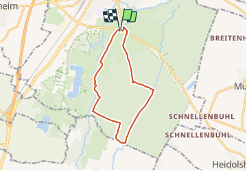

12 km | 17,2 km-effort


Gebruiker


Gratisgps-wandelapplicatie
 SityTrail
IGN / Geografische instituten
SityTrail World
De wereld gaat voor u open
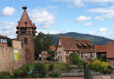
Tocht Stappen van 11,5 km beschikbaar op Grand Est, Bas-Rhin, Sélestat. Deze tocht wordt voorgesteld door Bart2015.
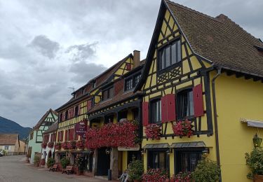
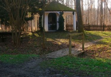
Balade à faire pour ses 2 passerelles. Attention à se protéger des moustiques qui peuvent être très envahissant (zone marécageuse).
Bonne balade ...


Stappen

Stappen

Stappen

Stappen
Elektrische fiets
Stappen
Elektrische fiets

Paardrijden
Stappen
Magnifique