


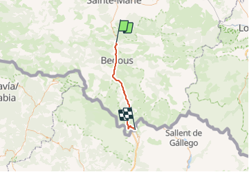

12,7 km | 17,3 km-effort


Gebruiker


Gratisgps-wandelapplicatie
 SityTrail
IGN / Geografische instituten
SityTrail World
De wereld gaat voor u open
Tocht Fietstoerisme van 37 km beschikbaar op Nieuw-Aquitanië, Pyrénées-Atlantiques, Sarrance. Deze tocht wordt voorgesteld door Piper.Classique.
It never gets very steep, but it does go up all the way from Urdos. The waymarked path is definitely not suitable for bikes. The road is not suitable for walkers. There is a bus.
Te voet
Te voet
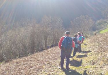
Stappen

Te voet
Te voet
Stappen

Trail
Stappen

Stappen