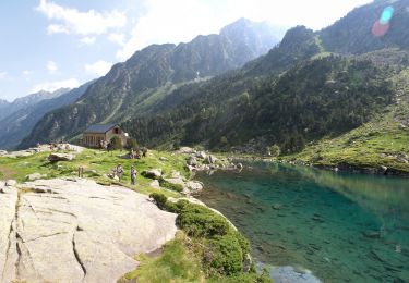
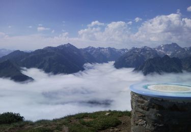
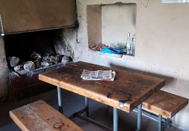
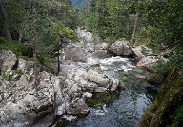
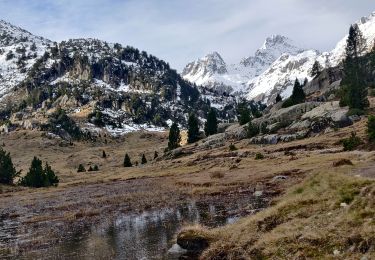
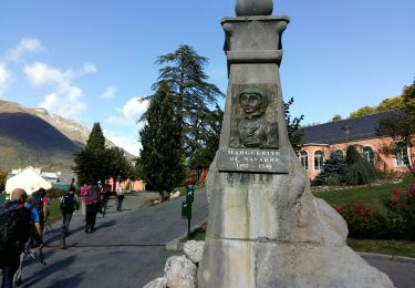
Tocht Stappen Cauterets - La Cabane de Cinquet - Photo
 mitch1952
mitch1952

Gebruiker

© OpenStreetMap contributors
Lengte
Lengte
12,6 km
Max. hoogte
Max. hoogte
1827 m
Positief hoogteverschil
932 m
Km-Effort
Km-Effort  
25 km
Min. hoogte
Min. hoogte
914 m
Negatief hoogteverschil
931 m
Boucle
Boucle
Ja
Datum van aanmaak :
2021-07-09 18:25:23.25
Laatste wijziging :
2022-06-08 14:08:47.796

(0 Bericht)

Stappen
Stappen
5h41
Moeilijkheid : Zeer moeilijk

Scan deze QR-code om de tocht te openen in de SityTrail-applicatie

Gratisgps-wandelapplicatie

Logo SityTrail SityTrail

IGN / Geografische instituten

SityTrail uit de App Store downloaden SityTrail uit Google Play downloaden

Logo SityTrail SityTrail World

De wereld gaat voor u open

SityTrail uit de App Store downloaden SityTrail uit Google Play downloaden SityTrail op Huawei AppGallery downloaden

Over ons

Tocht Stappen van 12,6 km beschikbaar op Occitanië, Hautes-Pyrénées, Cauterets. Deze tocht wordt voorgesteld door mitch1952.

Beschrijving

Randonnée effectuée avec Jean Paul des amis du Parc National des Pyrénées ce 9 juillet 2021
IBP 89  Cotation E4 T3 R3

Hoogteprofiel

POI's

POI Cauterets - CdC21 Début sentier GR10 - Photo
mitch1952
POI Cauterets - CdC20 Portail - Photo
mitch1952
CAUTERETS 
POI Cauterets - CdC18 Cabane du Cinquet - Photo
mitch1952
POI Cauterets - CdC17 Bifurcation Cabane - Photo
mitch1952
POI Cauterets - CdC16 Virage - Photo
mitch1952
CAUTERETS 
POI Cauterets - CdC15 Ruisseau du Cinquet - Photo
mitch1952
POI Cauterets - CdC14 Epingle Fin des Lacets - Photo
mitch1952
POI Cauterets - CdC13 Virage - Photo
mitch1952
CAUTERETS 
POI Cauterets - CdC12 Virage - Photo
mitch1952
CAUTERETS 
POI Cauterets - CdC10 Sentier ferme Igau - Photo
mitch1952
POI Cauterets - CdC09 La Ferme Basque - Photo
mitch1952
POI Cauterets - CdC07 Route du Cambasque - Photo
mitch1952
POI Cauterets - CdC06 Bifurcation GR10 - Photo
mitch1952
POI Cauterets - CdC05 Point Intermédiaire - Photo
mitch1952
POI Cauterets - CdC03 Fin des Lacets - Photo
mitch1952
POI Cauterets - CdC02 Escaliers - Photo
mitch1952
CAUTERETS 
POI Cauterets - CdC01 Parking départ - Photo
mitch1952

Plaatsbepaling

Land:
France
Regio :
Occitanië
Departement/Provincie :
Hautes-Pyrénées
Gemeente :
Cauterets
Locatie:
Unknown
Vertrek:(Dec)
Vertrek:(UTM)
735609 ; 4752761 (30T) N.

Wandeltochten in de omgeving

Tocht Stappen Cauterets - Lac d'Estom - Photo
Stappen
Philindy26

Stappen

Medium
(1)
Cauterets, Occitanië, Hautes-Pyrénées, France
11,4 km | 17,5 km-effort
3h 30min
Ja
Tocht Stappen Cauterets - contrefort de Cauterets - Photo
Stappen
christian33

Stappen

Medium
(1)
Cauterets, Occitanië, Hautes-Pyrénées, France
13,7 km | 21 km-effort
4h 21min
Ja
Tocht Stappen Grust - PIC DE VISCOS - Photo
Stappen
PVERTICAL

Stappen

Medium
(1)
Grust, Occitanië, Hautes-Pyrénées, France
10,5 km | 18,4 km-effort
4h 7min
Ja
Tocht Stappen Cauterets - Le Cabaliros - Photo
Stappen
tracegps

Stappen

Moeilijk
(1)
Cauterets, Occitanië, Hautes-Pyrénées, France
14,5 km | 29 km-effort
5h 0min
Ja
Tocht Stappen Cauterets - promenade Russell - Photo
Stappen
pffrench

Stappen

Heel gemakkelijk
(1)
Cauterets, Occitanië, Hautes-Pyrénées, France
11,9 km | 21 km-effort
5h 46min
Ja
Tocht Stappen Cauterets - Chemin des cascades - Photo
Stappen
herve.feurprier

Stappen

Gemakkelijk
(1)
Cauterets, Occitanië, Hautes-Pyrénées, France
8 km | 12,6 km-effort
2h 30min
Neen
Tocht Stappen Cauterets - 2022-12-31 Marche Refuge du Clot vers Refuge Wallon - Photo
Stappen
GUIDE
holtzv

Stappen

Moeilijk
Cauterets, Occitanië, Hautes-Pyrénées, France
17,3 km | 34 km-effort
7h 46min
Neen
Tocht Stappen Cauterets - CAUTERETS Le chemin des pères G3 le 14/10/2022
Stappen
GUIDE
marmotte65

Stappen

Medium
Cauterets, Occitanië, Hautes-Pyrénées, France
9,4 km | 15,3 km-effort
3h 5min
Ja
Tocht Stappen Cauterets - Pic d'Estibe Aute - Photo
Stappen
tracegps

Stappen

Zeer moeilijk
(1)
Cauterets, Occitanië, Hautes-Pyrénées, France
17,2 km | 36 km-effort
7h 0min
Ja


Sluiten
Mijn abonnementen