


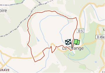

9,3 km | 12,2 km-effort


Gebruiker


Gratisgps-wandelapplicatie
 SityTrail
IGN / Geografische instituten
SityTrail World
De wereld gaat voor u open
Tocht Stappen van 9 km beschikbaar op Nieuw-Aquitanië, Dordogne, Bassillac et Auberoche. Deze tocht wordt voorgesteld door YV24.
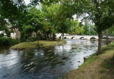
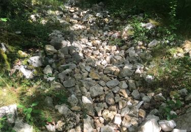
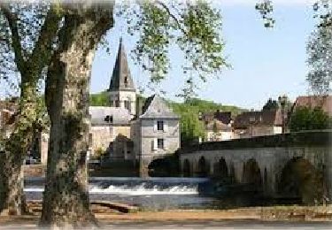
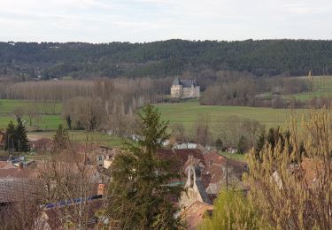
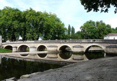
PDIPR. Boucle bien tracée, balisée, panneautée. Parcours varié, agréable, (partie au bord de l'Auvézere), peu de route

Stappen
Te voet
Stappen
Stappen
Stappen
Stappen
Stappen
Stappen
Stappen
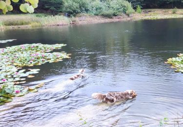
belle rando près de la rivière et bois