18,8 km | 23 km-effort
Nailloux
richardsimopons
Gebruiker
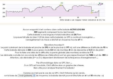
Lengte
7,1 km
Max. hoogte
289 m
Positief hoogteverschil
131 m
Km-Effort
8,8 km
Min. hoogte
214 m
Negatief hoogteverschil
130 m
Boucle
Ja
Datum van aanmaak :
2021-07-03 06:28:16.0
Laatste wijziging :
2021-07-03 08:16:05.904
1h47
Moeilijkheid : Medium
Gratisgps-wandelapplicatie
Over ons
Tocht Stappen van 7,1 km beschikbaar op Occitanië, Haute-Garonne, Nailloux. Deze tocht wordt voorgesteld door richardsimopons.
Beschrijving
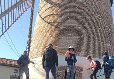
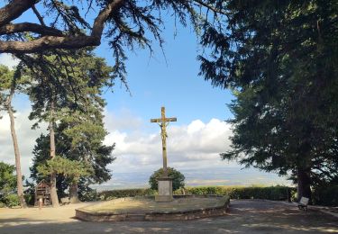
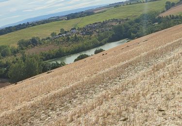
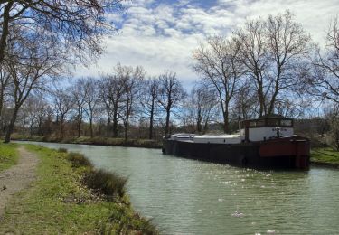
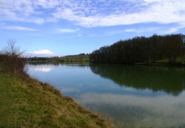
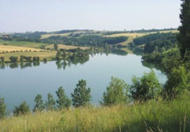
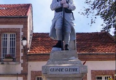
Les alentours de Nailloux : agréable mais un peu trop de route goudronnée à faire (2,2 km).
Plaatsbepaling
Land:
France
Regio :
Occitanië
Departement/Provincie :
Haute-Garonne
Gemeente :
Nailloux
Locatie:
Unknown
Vertrek:(Dec)
Vertrek:(UTM)
388316 ; 4801409 (31T) N.
Opmerkingen
Wandeltochten in de omgeving
Une bonne sueur à St Léon...
Lopen
Moeilijk
(1)
Saint-Léon,
Occitanië,
Haute-Garonne,
France
1h 15min
Ja
Les deux bastides Royales
Stappen
Moeilijk
Nailloux,
Occitanië,
Haute-Garonne,
France
12,1 km | 15,7 km-effort
3h 12min
Ja
Mongeard et le lac
Stappen
Medium
Montgeard,
Occitanië,
Haute-Garonne,
France
7,4 km | 9,5 km-effort
1h 50min
Ja
Boucle autour de Montréal
Stappen
Medium
Montgeard,
Occitanië,
Haute-Garonne,
France
56 km | 73 km-effort
2h 44min
Neen
Canal du Midi - Ecluse de Laval - En Cassan
Stappen
Gemakkelijk
Gardouch,
Occitanië,
Haute-Garonne,
France
8,4 km | 8,9 km-effort
1h 40min
Neen
Nailloux - Lac de la Tésauque
Stappen
Gemakkelijk
Nailloux,
Occitanië,
Haute-Garonne,
France
7,8 km | 9,9 km-effort
2h 10min
Ja
Boucle de Nailloux
Stappen
Medium
Nailloux,
Occitanië,
Haute-Garonne,
France
21 km | 26 km-effort
6h 30min
Ja
Lac de laTésauque - Nailloux
Mountainbike
Medium
Nailloux,
Occitanië,
Haute-Garonne,
France
16 km | 21 km-effort
1h 15min
Ja