


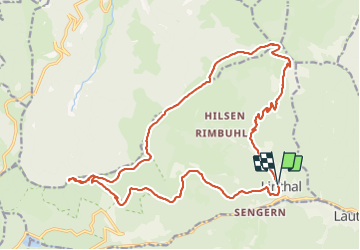


12,7 km | 20 km-effort

Gebruiker


Gratisgps-wandelapplicatie
 SityTrail
IGN / Geografische instituten
SityTrail World
De wereld gaat voor u open
Tocht Stappen van 23 km beschikbaar op Grand Est, Haut-Rhin, Linthal. Deze tocht wordt voorgesteld door Bart2015.
Randonnée pour les amoureux de la marche avec de belles vues sur les montagnes alentour dont le Grand Ballon. La montée au Klintzkopf mérite le détour.
Bonne rando ...


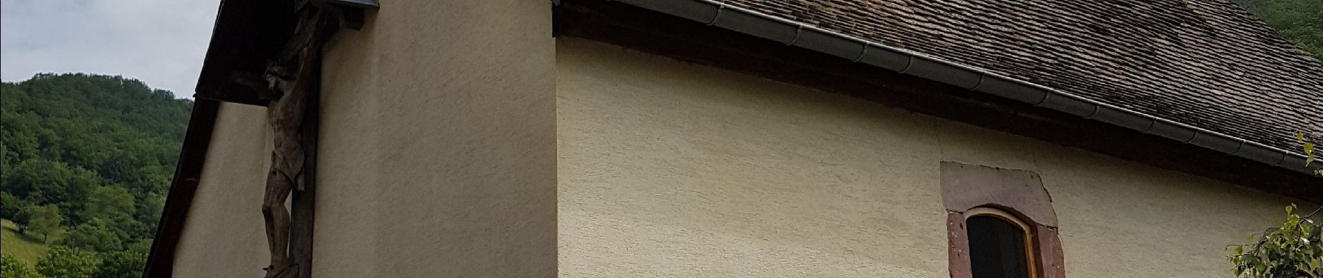
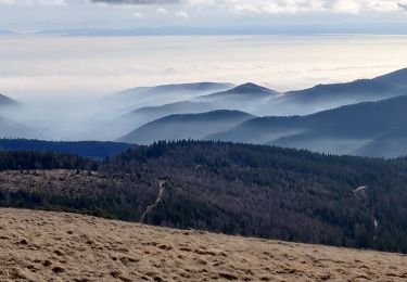
22 fotos in totaal. Klik op een foto om ze allemaal in de galerij weer te geven.

Stappen

Stappen

Stappen

Stappen

Stappen

Te voet
Stappen
Stappen

Stappen