


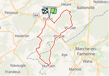

7,9 km | 9,8 km-effort

Gebruiker


Gratisgps-wandelapplicatie
 SityTrail
IGN / Geografische instituten
SityTrail World
De wereld gaat voor u open
Tocht Stappen van 28 km beschikbaar op Wallonië, Namen, Somme-Leuze. Deze tocht wordt voorgesteld door JEANMINNE.
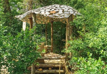
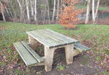
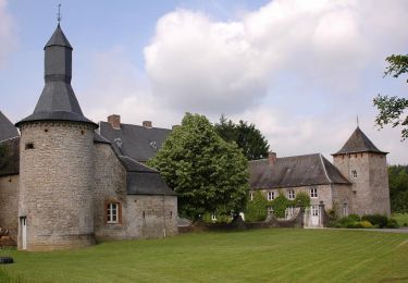
Sinsin, Sur le Foi, Au Tige, Bois d'heure, Haie Curie,Waillet,Hogne, Bois du Fourneau, Humain, Bois des Deffes, Bois des Dames, Ferme du Moulin, Serinchamps, Le Tomboi, Bois des Carmes, Sacré Cœur, Les Basses, Pont des Ripettes, Sinsin


Stappen
Stappen
Stappen
Te voet
Stappen

Te voet
Te voet
Stappen

Te voet