


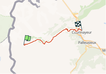

17,9 km | 27 km-effort


Gebruiker


Gratisgps-wandelapplicatie
 SityTrail
IGN / Geografische instituten
SityTrail World
De wereld gaat voor u open
Tocht Stappen van 17,6 km beschikbaar op Valle d'Aosta, Onbekend, Courmayeur. Deze tocht wordt voorgesteld door uru2010.
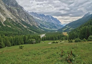
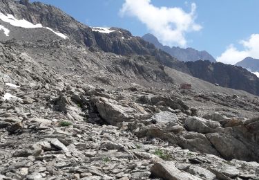
Départ : Refuge Elisabetta (Italie).
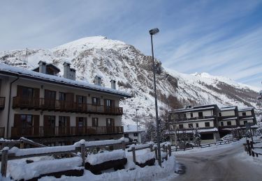
Arrivée : hôtel (albergo) Edelweiss, 42 Via Guglielmo Marconi, Courmayeur (Italie). Tél : 39 0165 84 15 90
Randonnée faite le 25/6/2021.
Durée suivant le guide : 5h50. Ma durée réelle : 7h45 avec une bonne partie dans la neige.
Te voet

Te voet
Te voet

Te voet

Stappen
Stappen
Stappen
Stappen

Stappen