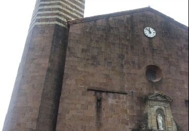
24 km | 35 km-effort
esterençuby G3 FAIT
LouisROGER
Gebruiker
Lengte
10,7 km
Max. hoogte
725 m
Positief hoogteverschil
390 m
Km-Effort
16,4 km
Min. hoogte
231 m
Negatief hoogteverschil
554 m
Boucle
Neen
Datum van aanmaak :
2021-06-25 08:02:00.377
Laatste wijziging :
2021-06-25 13:29:50.177
5h24
Moeilijkheid : Moeilijk
Gratisgps-wandelapplicatie
Over ons
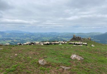
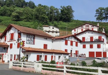
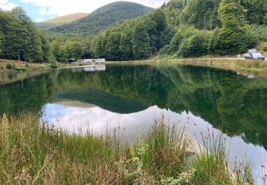
Tocht Stappen van 10,7 km beschikbaar op Nieuw-Aquitanië, Pyrénées-Atlantiques, Estérençuby. Deze tocht wordt voorgesteld door LouisROGER.
Plaatsbepaling
Land:
France
Regio :
Nieuw-Aquitanië
Departement/Provincie :
Pyrénées-Atlantiques
Gemeente :
Estérençuby
Locatie:
Unknown
Vertrek:(Dec)
Vertrek:(UTM)
647050 ; 4774522 (30T) N.
Opmerkingen
Wandeltochten in de omgeving
Col d'Irey ou Tour du pic d'Iramendy
Noords wandelen
Medium
(2)
Çaro,
Nieuw-Aquitanië,
Pyrénées-Atlantiques,
France
6h 43min
Ja
GROTTE D'HARPEA
Stappen
Medium
(1)
Estérençuby,
Nieuw-Aquitanië,
Pyrénées-Atlantiques,
France
12,1 km | 23 km-effort
4h 49min
Ja
Buluntza, Vautours et Milans
sport
Heel gemakkelijk
Lecumberry,
Nieuw-Aquitanië,
Pyrénées-Atlantiques,
France
4,8 km | 7,2 km-effort
Onbekend
Ja
Esterençuby au col de Ernagako Borda - 6 km de randonnée
Stappen
Zeer moeilijk
Estérençuby,
Nieuw-Aquitanië,
Pyrénées-Atlantiques,
France
13,3 km | 22 km-effort
5h 4min
Neen
GR 10 7ème étape : gîte de Kaskoleta - com d’Okabe - chalet Iraty
Stappen
Moeilijk
Estérençuby,
Nieuw-Aquitanië,
Pyrénées-Atlantiques,
France
23 km | 41 km-effort
6h 27min
Neen
esterençuby fait
Stappen
Heel gemakkelijk
Estérençuby,
Nieuw-Aquitanië,
Pyrénées-Atlantiques,
France
12,8 km | 20 km-effort
5h 41min
Ja
source de la Nive et grotte Harpéa.
Stappen
Zeer moeilijk
Estérençuby,
Nieuw-Aquitanië,
Pyrénées-Atlantiques,
France
12 km | 21 km-effort
4h 43min
Ja
caro
Fiets
Medium
Çaro,
Nieuw-Aquitanië,
Pyrénées-Atlantiques,
France
49 km | 60 km-effort
2h 45min
Ja
Orisson-Ronceveau
Andere activiteiten
Heel gemakkelijk
(1)
Saint-Michel,
Nieuw-Aquitanië,
Pyrénées-Atlantiques,
France
21 km | 33 km-effort
5min
Neen