


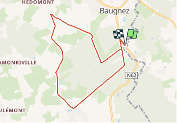


14,8 km | 18,9 km-effort


Gebruiker GUIDE


Gratisgps-wandelapplicatie
 SityTrail
IGN / Geografische instituten
SityTrail World
De wereld gaat voor u open
Tocht Stappen van 8,4 km beschikbaar op Wallonië, Luik, Malmedy. Deze tocht wordt voorgesteld door pierreh01.
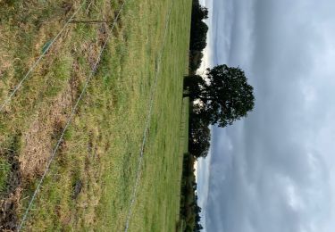
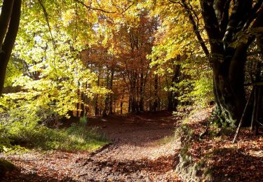
Balade HUWAO de ce dimanche 20 juin 2021, au départ de MALMEDY - Baugnez, sous une météo très agréable.


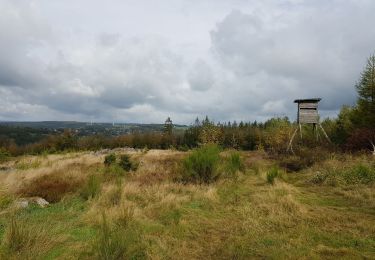
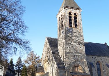
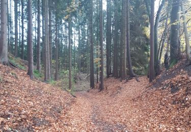
40 fotos in totaal. Klik op een foto om ze allemaal in de galerij weer te geven.

Stappen

Stappen
Stappen

Stappen
Stappen
Stappen
Stappen

Te voet
Stappen