


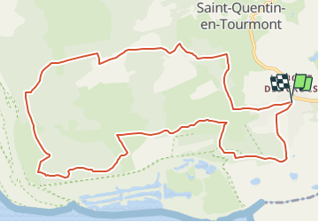

6 km | 6,1 km-effort


Gebruiker


Gratisgps-wandelapplicatie
 SityTrail
IGN / Geografische instituten
SityTrail World
De wereld gaat voor u open
Tocht Stappen van 11,9 km beschikbaar op Hauts-de-France, Somme, Saint-Quentin-en-Tourmont. Deze tocht wordt voorgesteld door raymondfn.
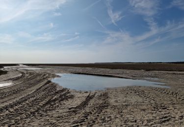
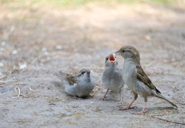
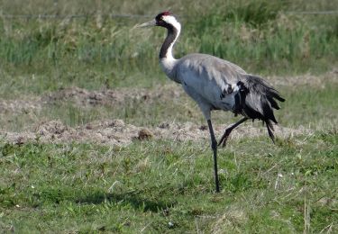
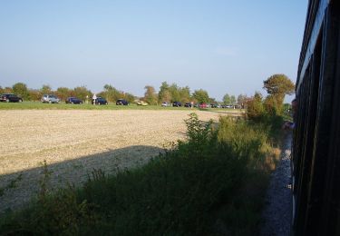
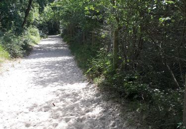
Randonnée autour du domaine du MarquenterreAutour du Marquenterre, une boucle dans les dunes, les crocs en picard, paradis des oiseaux et royaume du cheval.

Stappen

Stappen

Stappen

Paard
Stappen
Te voet
Te voet
Stappen