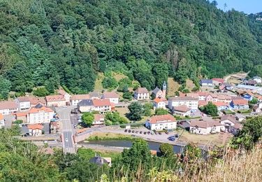
15,9 km | 21 km-effort
a-frankrijk-door-het-oosten-van-frankrijk
gpstracks
Gebruiker
Lengte
1769 km
Max. hoogte
3210 m
Positief hoogteverschil
140802 m
Km-Effort
3646 km
Min. hoogte
170 m
Negatief hoogteverschil
140805 m
Boucle
Ja
Datum van aanmaak :
2014-12-10 00:00:00.0
Laatste wijziging :
2014-12-10 00:00:00.0
--
Moeilijkheid : Onbekend
Gratisgps-wandelapplicatie
Over ons
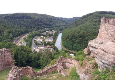
Tocht Motor van 1769 km beschikbaar op Grand Est, Moselle, Lutzelbourg. Deze tocht wordt voorgesteld door gpstracks.
Beschrijving
More information on GPStracks.nl : http://www.gpstracks.nl
Plaatsbepaling
Land:
France
Regio :
Grand Est
Departement/Provincie :
Moselle
Gemeente :
Lutzelbourg
Locatie:
Unknown
Vertrek:(Dec)
Vertrek:(UTM)
371424 ; 5399397 (32U) N.
Opmerkingen
Wandeltochten in de omgeving
Lutzelbourg - Hultehouse - Wasserwald
Stappen
Medium
(2)
Lutzelbourg,
Grand Est,
Moselle,
France
4h 53min
Ja
Circuit VTT de Bonne Fontaine - Phalsbourg
Mountainbike
Medium
(1)
Phalsbourg,
Grand Est,
Moselle,
France
22 km | 29 km-effort
2h 30min
Ja
Circulaire de Phalsbourg - Lutzelbourg
Stappen
Moeilijk
(1)
Phalsbourg,
Grand Est,
Moselle,
France
13,5 km | 18,6 km-effort
4h 30min
Ja
2019-11-11 Marche Lutzelbourg Sentier des bornes
Stappen
Heel gemakkelijk
Lutzelbourg,
Grand Est,
Moselle,
France
16,9 km | 23 km-effort
4h 49min
Ja
Lutzelbourg Gobain 2015
Stappen
Gemakkelijk
(3)
Lutzelbourg,
Grand Est,
Moselle,
France
18,3 km | 25 km-effort
5h 22min
Ja
lutzelbourg
Stappen
Medium
Henridorff,
Grand Est,
Moselle,
France
16,8 km | 24 km-effort
4h 33min
Ja
Boucle Grotte Saint Vit Saverne
Paardrijden
Medium
Danne-et-Quatre-Vents,
Grand Est,
Moselle,
France
24 km | 33 km-effort
4h 1min
Ja
20150823
Mountainbike
Medium
Lutzelbourg,
Grand Est,
Moselle,
France
15,8 km | 21 km-effort
1h 34min
Neen