


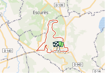

7 km | 8,8 km-effort

Gebruiker GUIDE


Gratisgps-wandelapplicatie
 SityTrail
IGN / Geografische instituten
SityTrail World
De wereld gaat voor u open
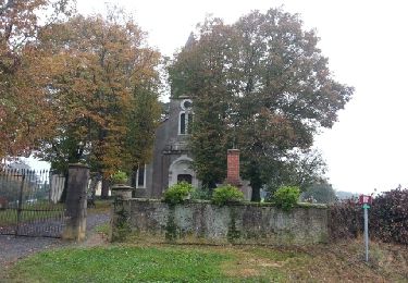
Tocht Stappen van 6,8 km beschikbaar op Nieuw-Aquitanië, Pyrénées-Atlantiques, Lembeye. Deze tocht wordt voorgesteld door marmotte65.
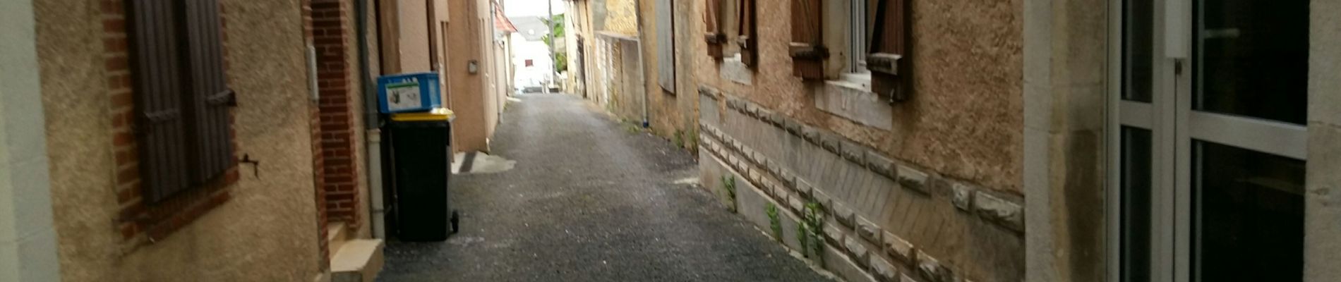
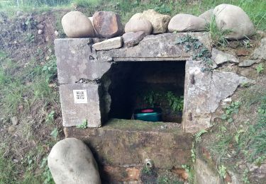
a l'occasion aller voir peu apres le départ la possibilité de ne pas passer sur la goudron (tourner à gauche dans un champ pour ressortir a proximité du chai en bas de la cote


Stappen
Stappen
Stappen

Stappen
Stappen
Stappen

Te voet

Stappen
Te voet