


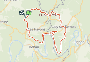

20 km | 30 km-effort

Gebruiker


Gratisgps-wandelapplicatie
 SityTrail
IGN / Geografische instituten
SityTrail World
De wereld gaat voor u open
Tocht Stappen van 21 km beschikbaar op Wallonië, Luxemburg, Bouillon. Deze tocht wordt voorgesteld door guyernage25.
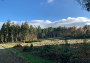
Belle rando dans la vallée de la Semois.
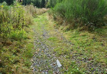
ATTENTION!!! Après le point de vue de "la roche percée " il vaut mieux revenir sur ses pas jusqu'à la Semois car sentier du dessus a disparu et de plus, on arrive en bas dans une propriété privée .


Stappen

Stappen
Stappen

Stappen
Stappen

Stappen
Stappen
Stappen
Stappen