


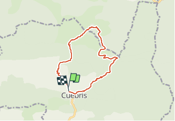

24 km | 46 km-effort


Gebruiker


Gratisgps-wandelapplicatie
 SityTrail
IGN / Geografische instituten
SityTrail World
De wereld gaat voor u open
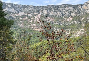
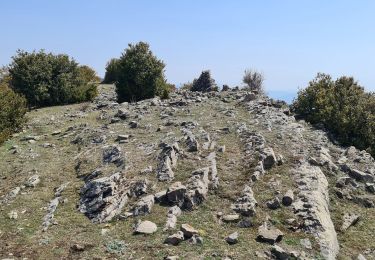
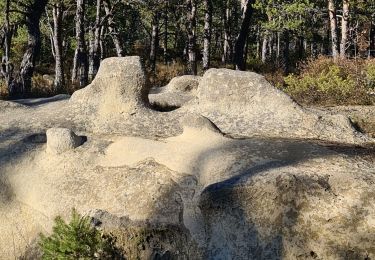
Tocht Stappen van 7,8 km beschikbaar op Provence-Alpes-Côte d'Azur, Alpes-Maritimes, Cuébris. Deze tocht wordt voorgesteld door pln30.
très belle randonnée variée, avec un départ soutenu, vous trouverez sur ma chaine youtube Air View Channel une vidéo de cette randonnée
Te voet

Te voet

Stappen
Stappen
Stappen
Stappen
Stappen
Stappen
Stappen