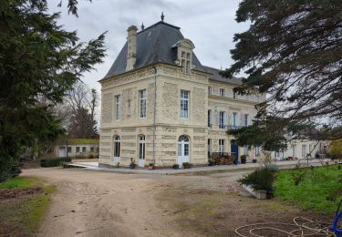
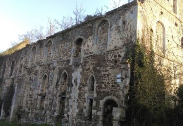
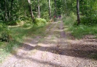
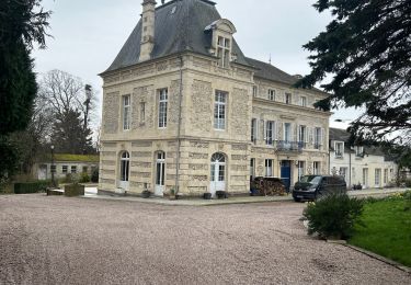
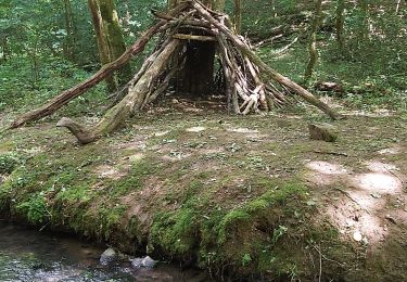
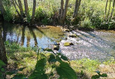
Tocht Stappen Fresney-le-Puceux - fresney le puceux - Photo
 semaine
semaine

Gebruiker

© OpenStreetMap contributors
Lengte
Lengte
8,8 km
Max. hoogte
Max. hoogte
121 m
Positief hoogteverschil
171 m
Km-Effort
Km-Effort  
11,1 km
Min. hoogte
Min. hoogte
27 m
Negatief hoogteverschil
173 m
Boucle
Boucle
Ja
Datum van aanmaak :
2021-06-08 12:38:24.645
Laatste wijziging :
2021-06-08 16:32:02.966

(0 Bericht)

Stappen
Stappen
2h52
Moeilijkheid : Medium

Scan deze QR-code om de tocht te openen in de SityTrail-applicatie

Gratisgps-wandelapplicatie

Logo SityTrail SityTrail

IGN / Geografische instituten

SityTrail uit de App Store downloaden SityTrail uit Google Play downloaden

Logo SityTrail SityTrail World

De wereld gaat voor u open

SityTrail uit de App Store downloaden SityTrail uit Google Play downloaden SityTrail op Huawei AppGallery downloaden

Over ons

Tocht Stappen van 8,8 km beschikbaar op Normandië, Calvados, Fresney-le-Puceux. Deze tocht wordt voorgesteld door semaine.

Hoogteprofiel

Plaatsbepaling

Land:
France
Regio :
Normandië
Departement/Provincie :
Calvados
Gemeente :
Fresney-le-Puceux
Locatie:
Unknown
Vertrek:(UTM)
691971 ; 5437957 (30U) N.

Wandeltochten in de omgeving

Tocht sport Vieux - Vieux17 - Photo
sport
papylou7

sport

Heel gemakkelijk
(1)
Vieux, Normandië, Calvados, France
17,2 km | 20 km-effort
Onbekend
Ja
Tocht Stappen Vieux - Vieux-jp - Photo
Stappen
gr1346

Stappen

Medium
(1)
Vieux, Normandië, Calvados, France
8,9 km | 10,4 km-effort
2h 37min
Neen
Tocht Geocaching Barbery - GC745R5 = https://coord.info/GC745R5 - Photo
Geocaching
yannick-p

Geocaching

Gemakkelijk
Barbery, Normandië, Calvados, France
6,5 km | 7,5 km-effort
2h 40min
Ja
Tocht Mountainbike May-sur-Orne - les mines d'or....ne 2016 65 km - Photo
Mountainbike
albers

Mountainbike

Medium
(1)
May-sur-Orne, Normandië, Calvados, France
65 km | 79 km-effort
5h 4min
Ja
Tocht Mountainbike Amayé-sur-Orne - Xtrem Vtt Normandie 2013 - Amayé Sur Orne - Photo
Mountainbike
tracegps

Mountainbike

Moeilijk
Amayé-sur-Orne, Normandië, Calvados, France
45 km | 57 km-effort
2h 49min
Ja
Tocht Lopen Mutrécy - reco mouss 27 12 13 - Photo
Lopen
mouss65

Lopen

Heel gemakkelijk
(1)
Mutrécy, Normandië, Calvados, France
5,7 km | 7,6 km-effort
1h 59min
Neen
Tocht sport Vieux - Autour de Vieux la Romaine  - Photo
sport
papylou7

sport

Heel gemakkelijk
Vieux, Normandië, Calvados, France
35 km | 40 km-effort
Onbekend
Neen
Tocht Stappen Mutrécy - Mutrecy - Photo
Stappen
Eve - Line

Stappen

Medium
Mutrécy, Normandië, Calvados, France
25 km | 29 km-effort
5h 6min
Ja
Tocht Mountainbike Amayé-sur-Orne - Forêts_de_Cinglais_et_de_Grimbosq - Photo
Mountainbike
BureauChris

Mountainbike

Medium
Amayé-sur-Orne, Normandië, Calvados, France
30 km | 35 km-effort
2h 18min
Ja


Sluiten
Mijn abonnementen