


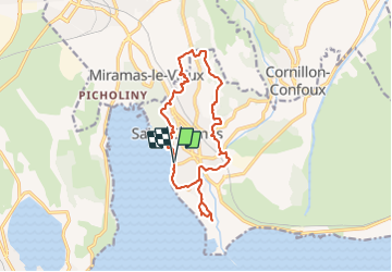

14,4 km | 18 km-effort


Gebruiker


Gratisgps-wandelapplicatie
 SityTrail
IGN / Geografische instituten
SityTrail World
De wereld gaat voor u open
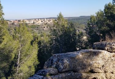
Tocht Stappen van 14,9 km beschikbaar op Provence-Alpes-Côte d'Azur, Bouches-du-Rhône, Berre-l'Étang. Deze tocht wordt voorgesteld door Manoune.
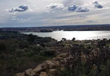
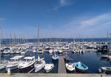
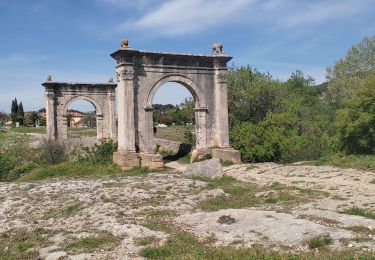
Départ Capitainerie - pas possible de finir la randonnée sur la petite Camargue , interdit jusqu'au mois de juillet d' après un panneau, à voir.


Stappen
Stappen

Stappen
Te voet
Stappen

Mountainbike

Stappen

Stappen
Stappen