


15,1 km | 21 km-effort

Gebruiker


Gratisgps-wandelapplicatie
 SityTrail
IGN / Geografische instituten
SityTrail World
De wereld gaat voor u open
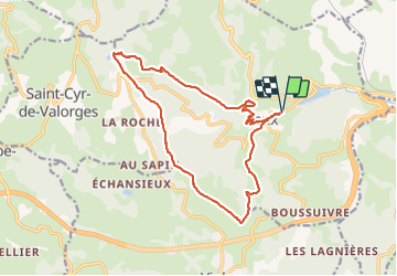
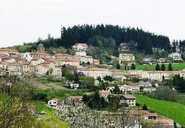
Tocht Stappen van 16,5 km beschikbaar op Auvergne-Rhône-Alpes, Rhône, Joux. Deze tocht wordt voorgesteld door Thomasdanielle.
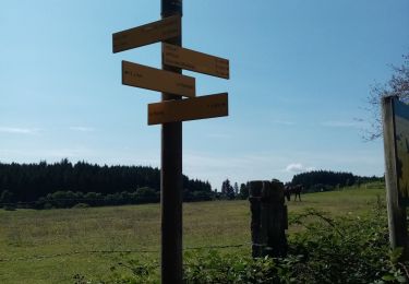
D/A : Parking de la salle des fêtes de Joux
Il faut compter 2h à 3h pour arriver à l'étang pour pique-niquer (tables et WC) - Crochet par la chapelle de Salette
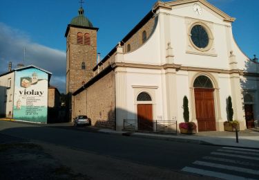
Au village du Joux, le restaurant offre un joli lieu calme avec une belle terrasse pour boire un verre (jour de fermeture le lundi)
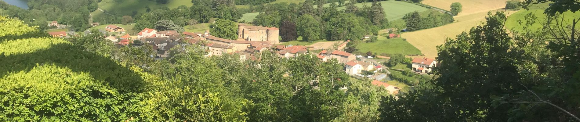
 - Photo 1")
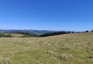
 - Photo 2")
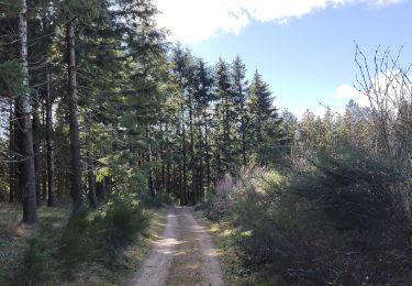
 - Photo 3")
Stappen
Stappen

Lopen
Stappen
Stappen
Stappen

Stappen
Mountainbike
Mountainbike