


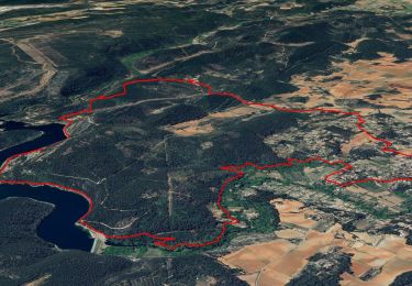
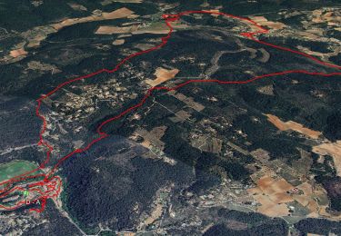
14,2 km | 18 km-effort

Gebruiker


Gratisgps-wandelapplicatie
 SityTrail
IGN / Geografische instituten
SityTrail World
De wereld gaat voor u open
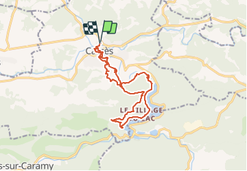
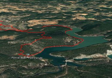
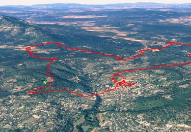
Tocht Stappen van 16,8 km beschikbaar op Provence-Alpes-Côte d'Azur, Var, Carcès. Deze tocht wordt voorgesteld door jean-marie.parachini.
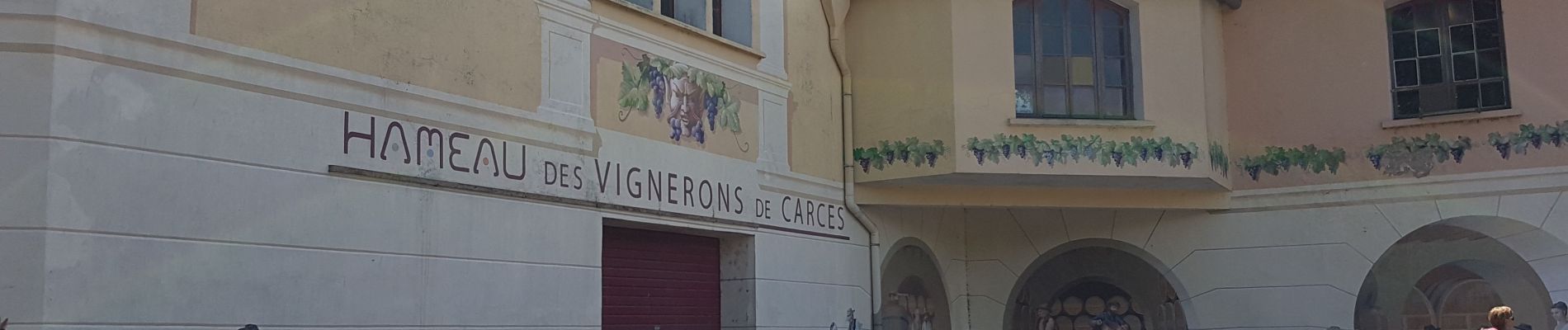
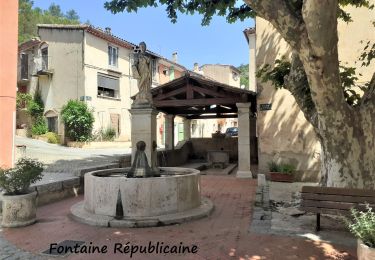
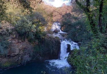
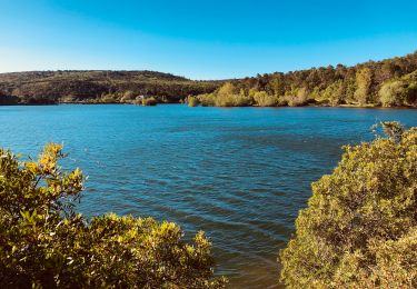
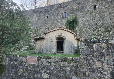
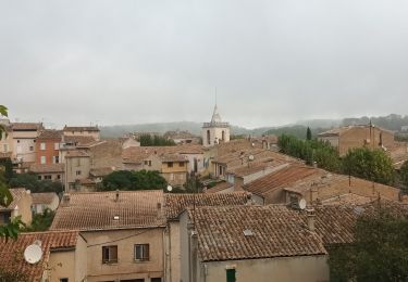
Belle randonnée en passant par le vieux village de Carces et en suivant les canaux et les bords du lac de Sainte Suzanne jusqu'au barrage et les chutes spectaculaires du Caramy.


64 fotos in totaal. Klik op een foto om ze allemaal in de galerij weer te geven.
Stappen
Stappen
Stappen
Stappen
Stappen
Stappen
Stappen
Stappen
Stappen