


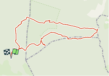

12,6 km | 16,7 km-effort

Gebruiker


Gratisgps-wandelapplicatie
 SityTrail
IGN / Geografische instituten
SityTrail World
De wereld gaat voor u open
Tocht Te voet van 13,3 km beschikbaar op Provence-Alpes-Côte d'Azur, Var, Signes. Deze tocht wordt voorgesteld door GILOU440.
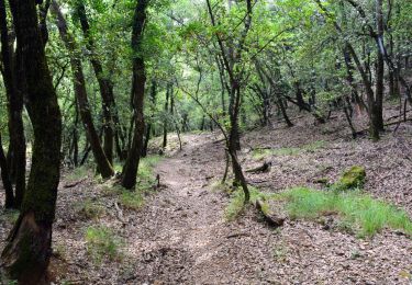
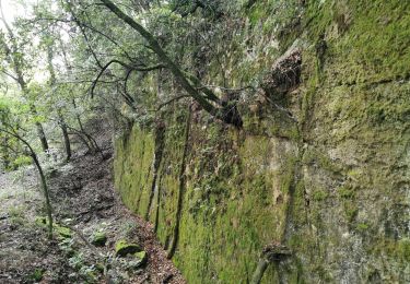
un corde pour un ressaut pas dur.sentier pas balisé mais cairné sur le sentier des bidoufles. Sinon bien balisé ailleur.
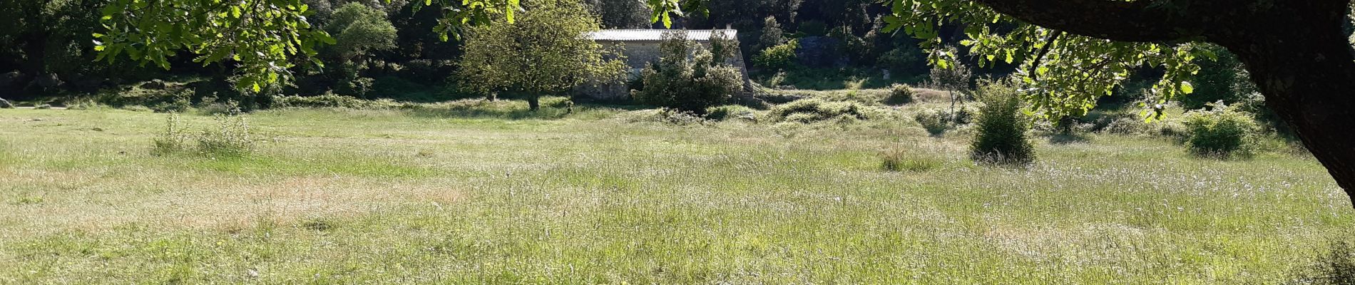
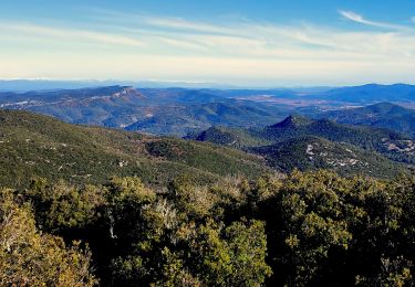
beaucoup de passages rocheux. 5h30 marche effectives sans se presser.


Stappen

Stappen
Stappen

Stappen
Stappen

Stappen

Lopen

Andere activiteiten
Stappen