


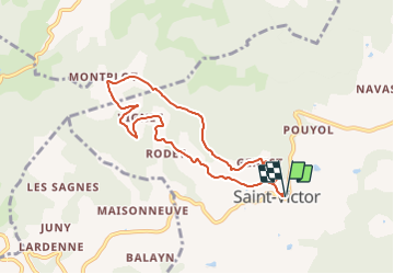


6,1 km | 8,6 km-effort


Gebruiker


Gratisgps-wandelapplicatie
 SityTrail
IGN / Geografische instituten
SityTrail World
De wereld gaat voor u open
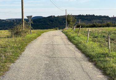
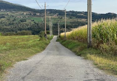
Tocht Stappen van 7,6 km beschikbaar op Auvergne-Rhône-Alpes, Ardèche, Saint-Victor. Deze tocht wordt voorgesteld door neitag61.
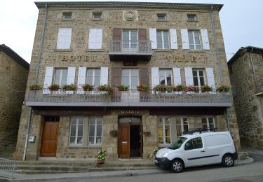
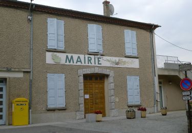
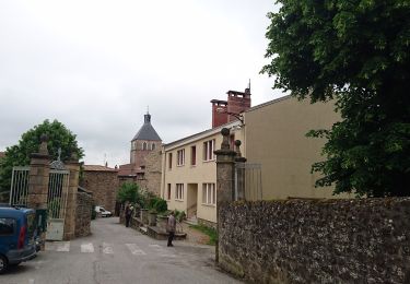
Une belle promenade en direction du hameau pittoresque de Montplot et offrant partout de superbes points de vue.Une belle promenade en direction du hameau pittoresque de Montplot et offrant partout de superbes points de vue.
Te voet
Te voet
Te voet
Te voet
Te voet
Te voet
Te voet
Te voet
Te voet