


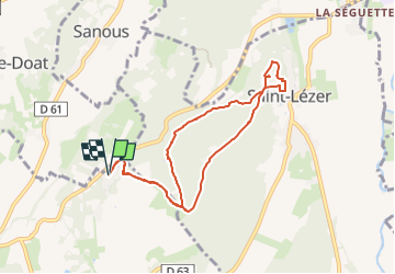

7 km | 8,7 km-effort


Gebruiker


Gratisgps-wandelapplicatie
 SityTrail
IGN / Geografische instituten
SityTrail World
De wereld gaat voor u open
Tocht Stappen van 8,6 km beschikbaar op Nieuw-Aquitanië, Pyrénées-Atlantiques, Montaner. Deze tocht wordt voorgesteld door mitch1952.
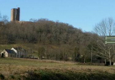
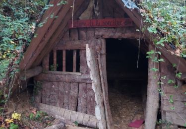
Rando à faire de préférence en été par forte chaleur pour son parcours essentiellement en forêt. A voir l'Oppidum, la table d'orientation et l'église.
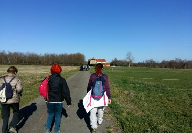
Te voet
Stappen
Stappen
Stappen

Mountainbike

Stappen
Te voet

Te voet
Noords wandelen