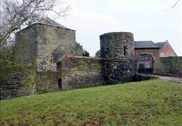
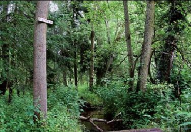
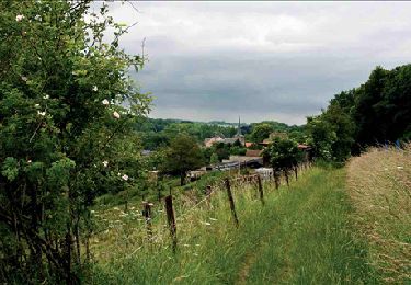
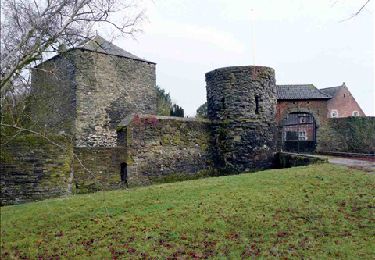
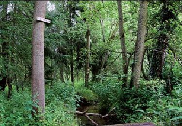
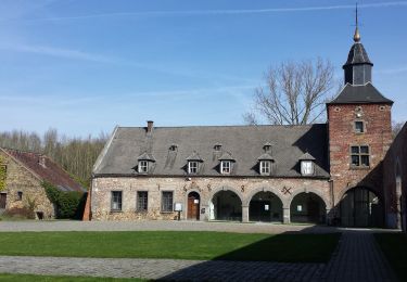
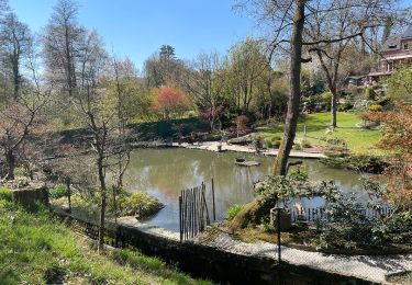
Tocht Stappen Villers-la-Ville - balade forestière villers  - Photo

balade forestière villers

 tometaurelia
tometaurelia

Gebruiker

© OpenStreetMap contributors
Lengte
Lengte
12 km
Max. hoogte
Max. hoogte
165 m
Positief hoogteverschil
197 m
Km-Effort
Km-Effort  
14,7 km
Min. hoogte
Min. hoogte
88 m
Negatief hoogteverschil
198 m
Boucle
Boucle
Ja
Datum van aanmaak :
2021-05-29 14:47:13.756
Laatste wijziging :
2021-05-29 17:16:40.064

(3 Bericht)

Stappen
Stappen
2h23
Moeilijkheid : Moeilijk

Scan deze QR-code om de tocht te openen in de SityTrail-applicatie

Gratisgps-wandelapplicatie

Logo SityTrail SityTrail

IGN / Geografische instituten

SityTrail uit de App Store downloaden SityTrail uit Google Play downloaden

Logo SityTrail SityTrail World

De wereld gaat voor u open

SityTrail uit de App Store downloaden SityTrail uit Google Play downloaden SityTrail op Huawei AppGallery downloaden

Over ons

Tocht Stappen van 12 km beschikbaar op Wallonië, Waals-Brabant, Villers-la-Ville. Deze tocht wordt voorgesteld door tometaurelia.

Hoogteprofiel

Plaatsbepaling

Land:
Belgium
Regio :
Wallonië
Departement/Provincie :
Waals-Brabant
Gemeente :
Villers-la-Ville
Locatie:
Villers-la-Ville
Vertrek:(UTM)
608075 ; 5603876 (31U) N.

Opmerkingen

Gelieve in te loggen om een commentaar of een beoordeling achter te laten


En ce mois de décembre certains passages sont très boueux, voir impraticables. Surtout aux environs de Tangissart. Il est possible toutefois de rejoindre la route sur une brève portion et rejoindre le chemin après environ 700 mètres.


Belle ballade totalement en dehors de la circulation.


Wandeltochten in de omgeving

Tocht Stappen Villers-la-Ville - RB-Bw-10-raccourci 2 - À travers campagnes et forêts, autour des ruines d’une prestigieuse abbaye - Photo
Stappen
PRO

Stappen

Moeilijk
(25)
Villers-la-Ville, Wallonië, Waals-Brabant, Belgium
13,3 km | 16,4 km-effort
3h 44min
Ja
Tocht Stappen Villers-la-Ville - RB-Bw-10-raccourci 1 - À travers campagnes et forêts, autour des ruines d’une prestigieuse abbaye  - Photo
Stappen
PRO

Stappen

Zeer moeilijk
(13)
Villers-la-Ville, Wallonië, Waals-Brabant, Belgium
24 km | 30 km-effort
6h 43min
Ja
Tocht Stappen Genepiën - RB-Bw-09 Raccourci 1 & 2 - Autour de la jeune Dyle et de ses affluents - Photo
Stappen
PRO

Stappen

Moeilijk
(11)
Genepiën, Wallonië, Waals-Brabant, Belgium
9,7 km | 12,5 km-effort
2h 50min
Ja
Tocht Stappen Genepiën - RB-Bw-09 Raccourci 1 - Autour de la jeune Dyle et de ses affluents - Photo
Stappen
PRO

Stappen

Moeilijk
(11)
Genepiën, Wallonië, Waals-Brabant, Belgium
13,2 km | 16,9 km-effort
3h 49min
Ja
Tocht Stappen Villers-la-Ville - RB-Bw-10 -À travers campagnes et forêts, autour des ruines d’une prestigieuse abbaye  - Photo
Stappen
PRO

Stappen

Zeer moeilijk
(6)
Villers-la-Ville, Wallonië, Waals-Brabant, Belgium
26 km | 32 km-effort
7h 15min
Ja
Tocht Stappen Genepiën - RB-Bw-09 - Autour de la jeune Dyle et de ses affluents - Photo
Stappen
PRO

Stappen

Medium
(9)
Genepiën, Wallonië, Waals-Brabant, Belgium
22 km | 28 km-effort
5h 59min
Ja
Tocht Stappen Genepiën - Genappe - Circuit Natura 2000, des sites qui valent le détour ! - Bw03 - Photo
Stappen
GUIDE+

Stappen

Medium
(6)
Genepiën, Wallonië, Waals-Brabant, Belgium
7,9 km | 9,7 km-effort
2h 6min
Ja
Tocht Stappen Court-Saint-Étienne - GG2-Bw-22_La-Roche-Blanmont_2021-11-04 - Photo
Stappen
PRO

Stappen

Medium
(2)
Court-Saint-Étienne, Wallonië, Waals-Brabant, Belgium
21 km | 26 km-effort
5h 51min
Neen
Tocht Stappen Villers-la-Ville - Balade forestière à Villers la Ville - Photo
Stappen
GUIDE
Desrumaux

Stappen

Gemakkelijk
(5)
Villers-la-Ville, Wallonië, Waals-Brabant, Belgium
11,5 km | 14,1 km-effort
3h 0min
Ja


Sluiten
Mijn abonnementen