


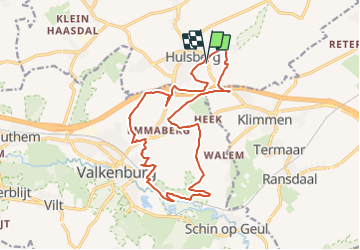

17,2 km | 21 km-effort


Gebruiker GUIDE


Gratisgps-wandelapplicatie
 SityTrail
IGN / Geografische instituten
SityTrail World
De wereld gaat voor u open
Tocht Stappen van 16,3 km beschikbaar op Limburg, Onbekend, Beekdaelen. Deze tocht wordt voorgesteld door mumu.larandonneuse.
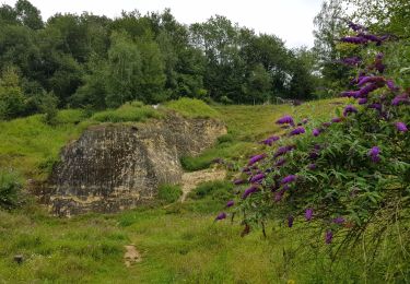
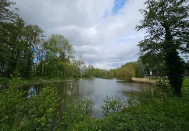
Hormis les passages le long de l'autoroute, c'est une très belle randonnée offrant des vues panoramiques sur les paysages du Zuid-Limburg.
ℹ www.wandelgidszuidlimburg.com n° 870


Stappen

Stappen

Stappen
Stappen
Stappen
Stappen

Stappen
Stappen

Te voet