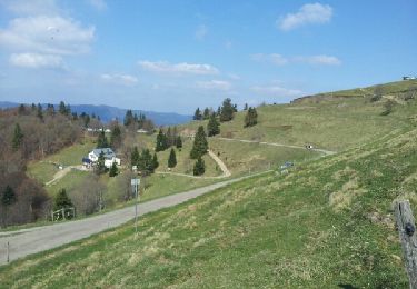
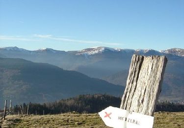
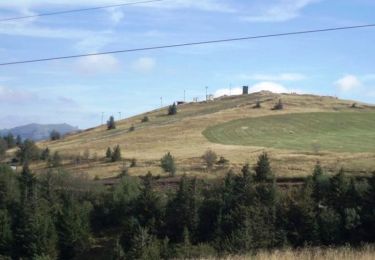
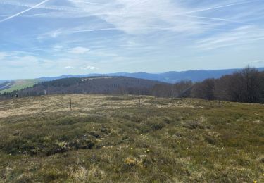
Tocht Stappen Linthal - Lac de la Lauch-col d'Oberlauchen-Schnepfenried_wpt_trk - Photo

Lac de la Lauch-col d'Oberlauchen-Schnepfenried_wpt_trk

 JCLUTT
JCLUTT

Gebruiker

© OpenStreetMap contributors
Lengte
Lengte
18,4 km
Max. hoogte
Max. hoogte
1265 m
Positief hoogteverschil
736 m
Km-Effort
Km-Effort  
28 km
Min. hoogte
Min. hoogte
935 m
Negatief hoogteverschil
740 m
Boucle
Boucle
Ja
Datum van aanmaak :
2021-05-27 13:34:03.756
Laatste wijziging :
2021-05-27 13:38:36.095

(0 Bericht)

Stappen
Stappen
6h25
Moeilijkheid : Zeer moeilijk

Scan deze QR-code om de tocht te openen in de SityTrail-applicatie

Gratisgps-wandelapplicatie

Logo SityTrail SityTrail

IGN / Geografische instituten

SityTrail uit de App Store downloaden SityTrail uit Google Play downloaden

Logo SityTrail SityTrail World

De wereld gaat voor u open

SityTrail uit de App Store downloaden SityTrail uit Google Play downloaden SityTrail op Huawei AppGallery downloaden

Over ons

Tocht Stappen van 18,4 km beschikbaar op Grand Est, Haut-Rhin, Linthal. Deze tocht wordt voorgesteld door JCLUTT.

Beschrijving

Randonnée difficile de par sa longueur et son dénivelé.

Hoogteprofiel

POI's

POI Sondernach - C: Croix bleue - Photo
JCLUTT
SONDERNACH 
POI Mittlach - E: Cercle bleu - Photo
JCLUTT
MITTLACH 
POI Sondernach - F: RN cote 1074 - Photo
JCLUTT
SONDERNACH 
POI Sondernach - G: Refuge AN Schnepfenried - Photo
JCLUTT
POI Mittlach - J: Widenbach-cote 1138 - Photo
JCLUTT
POI Metzeral - L: FA Uff Rain - Photo
JCLUTT
METZERAL 
POI Metzeral - M: Sans marquage - Photo
JCLUTT
POI Metzeral - N: Disque bleu - Photo
JCLUTT
METZERAL 
POI Linthal - O: Sans marquage - Photo
JCLUTT
POI Oderen - P: Nom36 - Photo
JCLUTT
ODEREN 
POI Oderen - Q: FA Steinlebach - Photo
JCLUTT
POI Oderen - R: Sans marquage - Photo
JCLUTT
POI Fellering - S: Ecole de ski - Photo
JCLUTT
FELLERING 
POI Fellering - T: Route D430 - Photo
JCLUTT
FELLERING 
POI Fellering - U: Tour du lac - Photo
JCLUTT
FELLERING 
POI Linthal - V: Arrivée parking - Photo
JCLUTT

Plaatsbepaling

Land:
France
Regio :
Grand Est
Departement/Provincie :
Haut-Rhin
Gemeente :
Linthal
Locatie:
Unknown
Vertrek:(Dec)
Vertrek:(UTM)
354100 ; 5311070 (32T) N.

Wandeltochten in de omgeving

Tocht Stappen Linthal - Markstein - Photo
Stappen
VacheKiri67

Stappen

Medium
(3)
Linthal, Grand Est, Haut-Rhin, France
14 km | 19,8 km-effort
4h 45min
Ja
Tocht Stappen Linthal - Tour de la grande Vallée de Munster (refuge du Hilsen - Munster) - Photo
Stappen
tracegps

Stappen

Moeilijk
(1)
Linthal, Grand Est, Haut-Rhin, France
18,1 km | 24 km-effort
5h 0min
Neen
Tocht Stappen Lautenbachzell - Le Markstein - Photo
Stappen
tracegps

Stappen

Moeilijk
(1)
Lautenbachzell, Grand Est, Haut-Rhin, France
22 km | 35 km-effort
6h 0min
Ja
Tocht Stappen Linthal - SityTrail - Remspach-Hilsen - Photo
Stappen

Stappen

Medium
(1)
Linthal, Grand Est, Haut-Rhin, France
9,9 km | 14,6 km-effort
3h 3min
Ja
Tocht Te voet Lautenbachzell - Parking Bellevue - Hundsrucken - Markstein - Photo
Te voet
patrickbeyrath

Te voet

Medium
(1)
Lautenbachzell, Grand Est, Haut-Rhin, France
9,4 km | 13 km-effort
Onbekend
Ja
Tocht Mountainbike Metzeral - Breitfirst - Petit Ballon - Col de Firstplan - Wintzenheim - Photo
Mountainbike
sit68000

Mountainbike

Medium
(1)
Metzeral, Grand Est, Haut-Rhin, France
38 km | 52 km-effort
3h 11min
Neen
Tocht Stappen Metzeral - 24 04 14 autour d’Uffrain - Photo
Stappen
jmbilger

Stappen

Metzeral, Grand Est, Haut-Rhin, France
70 km | 83 km-effort
3h 45min
Neen
Tocht Stappen Soultz-Haut-Rhin - Mon tour des Vosges (4 jours) - Photo
Stappen
annefrance70

Stappen

Zeer moeilijk
Soultz-Haut-Rhin, Grand Est, Haut-Rhin, France
71 km | 113 km-effort
25h 38min
Ja
Tocht Stappen Ranspach - Rando des Marcheurs 20/07/2023 - Photo
Stappen
boubou68

Stappen

Zeer moeilijk
Ranspach, Grand Est, Haut-Rhin, France
23 km | 38 km-effort
5h 31min
Ja


Sluiten
Mijn abonnementen