3,2 km | 5,1 km-effort
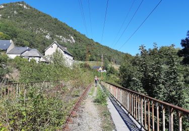
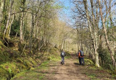
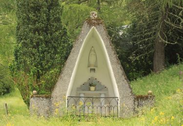
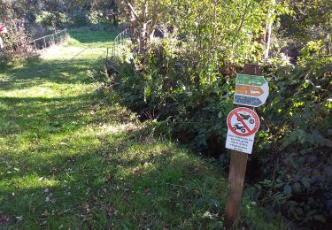
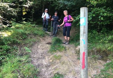
Sentier du Pacte des loups
alainleroyer
Gebruiker
Lengte
7,5 km
Max. hoogte
1193 m
Positief hoogteverschil
434 m
Km-Effort
13,3 km
Min. hoogte
814 m
Negatief hoogteverschil
432 m
Boucle
Ja
Datum van aanmaak :
2021-05-23 07:51:32.971
Laatste wijziging :
2021-05-23 12:02:27.077
2h45
Moeilijkheid : Medium
Gratisgps-wandelapplicatie
Over ons
Tocht Stappen van 7,5 km beschikbaar op Occitanië, Hautes-Pyrénées, Esparros. Deze tocht wordt voorgesteld door alainleroyer.
Plaatsbepaling
Land:
France
Regio :
Occitanië
Departement/Provincie :
Hautes-Pyrénées
Gemeente :
Esparros
Locatie:
Unknown
Vertrek:(Dec)
Vertrek:(UTM)
282056 ; 4765221 (31T) N.
Opmerkingen
Wandeltochten in de omgeving
Du Signal de Bassia vers le col de Beyrède par la crête sud-est et le Pas de ...
Stappen
Medium
(9)
Esparros,
Occitanië,
Hautes-Pyrénées,
France
48min
Neen
FEU 2015 - Etape 3
Stappen
Gemakkelijk
(3)
Esparros,
Occitanië,
Hautes-Pyrénées,
France
23 km | 32 km-effort
6h 45min
Neen
FEU 2015 - Etape 2
Stappen
Gemakkelijk
(1)
Lortet,
Occitanië,
Hautes-Pyrénées,
France
7,8 km | 12,5 km-effort
2h 34min
Neen
Pacte des loups
Stappen
Medium
(2)
Esparros,
Occitanië,
Hautes-Pyrénées,
France
10,9 km | 18 km-effort
Onbekend
Ja
REBOUC sortie commune LPC trace revue et corrigée "3822705"
Stappen
Medium
Hèches,
Occitanië,
Hautes-Pyrénées,
France
6,1 km | 8,5 km-effort
1h 55min
Ja
plo de Berdaoulou
Stappen
Medium
Sarrancolin,
Occitanië,
Hautes-Pyrénées,
France
12,9 km | 26 km-effort
7h 12min
Ja
Voie d'Aure
Te voet
Zeer moeilijk
Lortet,
Occitanië,
Hautes-Pyrénées,
France
56 km | 87 km-effort
19h 50min
Neen
Rebouc G4
Stappen
Heel gemakkelijk
Hèches,
Occitanië,
Hautes-Pyrénées,
France
4,4 km | 5,9 km-effort
1h 10min
Ja
Pacte des loups
Stappen
Medium
Esparros,
Occitanië,
Hautes-Pyrénées,
France
7,8 km | 13,3 km-effort
5h 27min
Ja