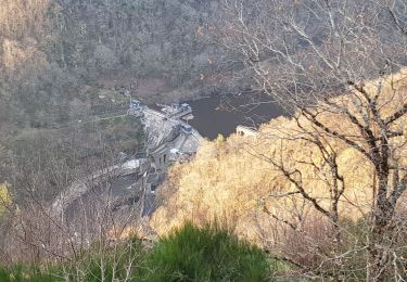
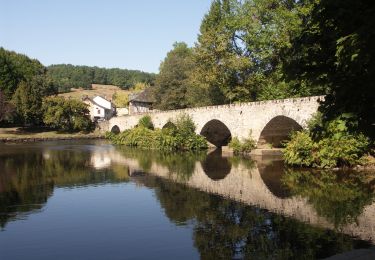
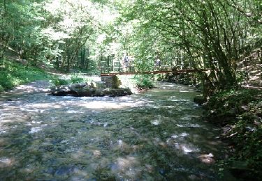
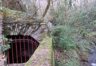
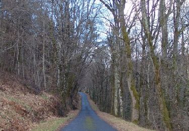
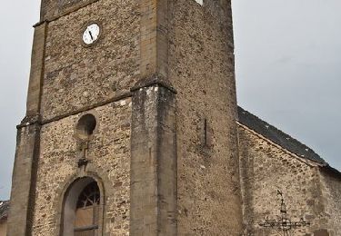
6,4 km | 8,6 km-effort
w-frankrijk-gorges-du-saillant
gpstracks
Gebruiker
Lengte
7,1 km
Max. hoogte
351 m
Positief hoogteverschil
305 m
Km-Effort
11,1 km
Min. hoogte
115 m
Negatief hoogteverschil
294 m
Boucle
Neen
Datum van aanmaak :
2014-12-10 00:00:00.0
Laatste wijziging :
2014-12-10 00:00:00.0
--
Moeilijkheid : Onbekend
Gratisgps-wandelapplicatie
Over ons
Tocht Stappen van 7,1 km beschikbaar op Nieuw-Aquitanië, Corrèze, Allassac. Deze tocht wordt voorgesteld door gpstracks.
Beschrijving
More information on GPStracks.nl : http://www.gpstracks.nl
Plaatsbepaling
Land:
France
Regio :
Nieuw-Aquitanië
Departement/Provincie :
Corrèze
Gemeente :
Allassac
Locatie:
Unknown
Vertrek:(Dec)
Vertrek:(UTM)
379066 ; 5014751 (31T) N.
Opmerkingen
Wandeltochten in de omgeving
20201226 Saillant 20.5K
Trail
Medium
Voutezac,
Nieuw-Aquitanië,
Corrèze,
France
21 km | 31 km-effort
3h 22min
Ja
Estivaux_Le Saillant-Gorges de la Vézère
Stappen
Moeilijk
Estivaux,
Nieuw-Aquitanië,
Corrèze,
France
20 km | 30 km-effort
6h 0min
Ja
Le Saillant - Vallée de la Vézère
Stappen
Heel gemakkelijk
(1)
Voutezac,
Nieuw-Aquitanië,
Corrèze,
France
9,3 km | 14 km-effort
3h 3min
Ja
Boucle du vieux Saillant
Stappen
Heel gemakkelijk
Allassac,
Nieuw-Aquitanië,
Corrèze,
France
3 km | 3,8 km-effort
45min
Ja
Ayen-160623 - Ceyrat-FontaineCrozes
Stappen
Medium
Voutezac,
Nieuw-Aquitanië,
Corrèze,
France
7,5 km | 10,7 km-effort
2h 35min
Ja
Allassac-Plateau des gouttes
Stappen
Medium
Allassac,
Nieuw-Aquitanië,
Corrèze,
France
7,6 km | 11 km-effort
2h 26min
Ja
Les coteaux de Vertougit - Voutezac
Stappen
Medium
Voutezac,
Nieuw-Aquitanië,
Corrèze,
France
10,9 km | 15,3 km-effort
3h 30min
Ja
La fontaine des Crozes - Voutezac
Stappen
Moeilijk
(1)
Voutezac,
Nieuw-Aquitanië,
Corrèze,
France
11,8 km | 16,7 km-effort
3h 0min
Ja
Belle petite rando principalement en forêt, avec de bons dénivelés ! Beaux points de vue.