


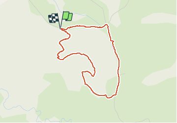

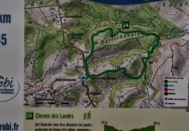
8,3 km | 11,7 km-effort


Gebruiker


Gratisgps-wandelapplicatie
 SityTrail
IGN / Geografische instituten
SityTrail World
De wereld gaat voor u open
Tocht Stappen van 4,2 km beschikbaar op Nieuw-Aquitanië, Pyrénées-Atlantiques, Hasparren. Deze tocht wordt voorgesteld door rigol05.
séjour Pays basque sortie du 15 mai 2021
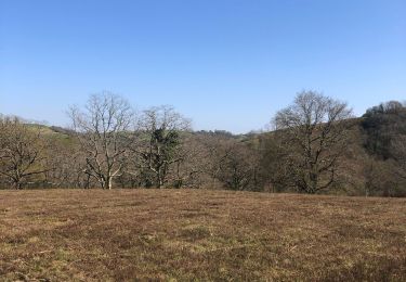
Petite boucle pour éviter un itinéraire en A/R. Le terrain peut s'avérer très gras donc glissant. Quelques possibilités pour allonger la distance.

Stappen
Stappen

Stappen

Stappen
Stappen
Te voet

Stappen

Stappen

Stappen