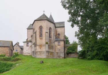
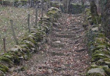
6,4 km | 8,5 km-effort
Le ruisseau en botte
Benoît Marquès
Gebruiker
Lengte
4,1 km
Max. hoogte
581 m
Positief hoogteverschil
103 m
Km-Effort
5,4 km
Min. hoogte
509 m
Negatief hoogteverschil
77 m
Boucle
Neen
Datum van aanmaak :
2021-05-10 13:37:04.0
Laatste wijziging :
2021-05-14 13:47:06.089
1h32
Moeilijkheid : Gemakkelijk
Gratisgps-wandelapplicatie
Over ons
Tocht Stappen van 4,1 km beschikbaar op Occitanië, Aveyron, Camboulazet. Deze tocht wordt voorgesteld door Benoît Marquès.
Plaatsbepaling
Land:
France
Regio :
Occitanië
Departement/Provincie :
Aveyron
Gemeente :
Camboulazet
Locatie:
Unknown
Vertrek:(Dec)
Vertrek:(UTM)
455972 ; 4898435 (31T) N.
Opmerkingen
Wandeltochten in de omgeving
Circuit 3 - La fontainte romaine
Te voet
Gemakkelijk
Baraqueville,
Occitanië,
Aveyron,
France
5,3 km | 6,7 km-effort
1h 30min
Ja
Les Crouzets au bord du ruisseau
Stappen
Medium
(1)
Baraqueville,
Occitanië,
Aveyron,
France
5,2 km | 7,1 km-effort
1h 37min
Ja
Manhac, au coeur du Ségala
Stappen
Medium
(1)
Manhac,
Occitanië,
Aveyron,
France
11,3 km | 16,1 km-effort
3h 0min
Ja
camboulazet 3
Stappen
Moeilijk
Camboulazet,
Occitanië,
Aveyron,
France
11,1 km | 15,1 km-effort
3h 26min
Ja
Baraqueville
Andere activiteiten
Heel gemakkelijk
Baraqueville,
Occitanië,
Aveyron,
France
3,3 km | 3,9 km-effort
1h 0min
Ja
val de lenne
Noords wandelen
Heel gemakkelijk
Baraqueville,
Occitanië,
Aveyron,
France
8,6 km | 10,7 km-effort
2h 0min
Ja
baraqueville 3
Noords wandelen
Heel gemakkelijk
Baraqueville,
Occitanië,
Aveyron,
France
6,6 km | 8,3 km-effort
1h 34min
Ja
Baraqueville
Noords wandelen
Heel gemakkelijk
Baraqueville,
Occitanië,
Aveyron,
France
11,4 km | 14,7 km-effort
2h 29min
Ja