


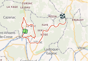

12,9 km | 17,3 km-effort


Gebruiker


Gratisgps-wandelapplicatie
 SityTrail
IGN / Geografische instituten
SityTrail World
De wereld gaat voor u open
Tocht Stappen van 15,3 km beschikbaar op Nieuw-Aquitanië, Dordogne, Beynac-et-Cazenac. Deze tocht wordt voorgesteld door tbourany.
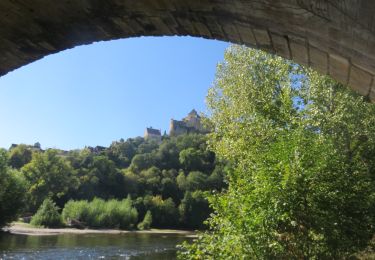
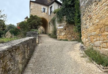
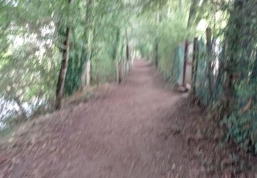
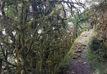
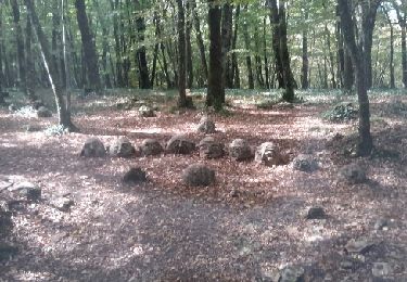
très agréable dans les sous bois et autour du joli village de BEYNAC et son magnifique château. Pas trop dur sauf 2 petits raidillons au départ
Stappen

Stappen
Stappen
Stappen
Stappen

Stappen

Stappen
Motor

Stappen