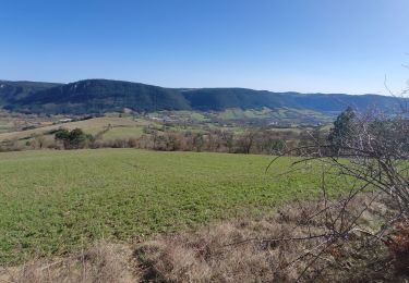
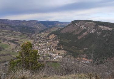
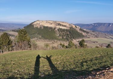
22 km | 27 km-effort
Un peu de dénivelé autour de Chanac
coralie blanc
Gebruiker
Lengte
15,9 km
Max. hoogte
941 m
Positief hoogteverschil
697 m
Km-Effort
25 km
Min. hoogte
655 m
Negatief hoogteverschil
697 m
Boucle
Ja
Datum van aanmaak :
2021-05-01 20:35:12.285
Laatste wijziging :
2021-05-01 20:35:16.049
5h44
Moeilijkheid : Zeer moeilijk
Gratisgps-wandelapplicatie
Over ons
Tocht Stappen van 15,9 km beschikbaar op Occitanië, Lozère, Chanac. Deze tocht wordt voorgesteld door coralie blanc.
Plaatsbepaling
Land:
France
Regio :
Occitanië
Departement/Provincie :
Lozère
Gemeente :
Chanac
Locatie:
Chanac
Vertrek:(Dec)
Vertrek:(UTM)
527215 ; 4923521 (31T) N.
Opmerkingen
Wandeltochten in de omgeving
Rando..Chanac..Causses de Sauveterre..16/05/2024
Stappen
Moeilijk
Chanac,
Occitanië,
Lozère,
France
4h 18min
Ja
le villard
Stappen
Moeilijk
(1)
Chanac,
Occitanië,
Lozère,
France
13,1 km | 18,2 km-effort
3h 44min
Ja
Rocherousse Marijoulet
Stappen
Moeilijk
Esclanèdes,
Occitanië,
Lozère,
France
10,5 km | 16,4 km-effort
2h 58min
Ja
esclanedes sauveterre le sec esclanedes
Mountainbike
Gemakkelijk
Esclanèdes,
Occitanië,
Lozère,
France
42 km | 53 km-effort
3h 11min
Ja
la roche /Veyrac/Vielbougue
Stappen
Medium
Barjac,
Occitanië,
Lozère,
France
11,5 km | 17 km-effort
3h 17min
Ja
Chemin de St Guilhem - Le Gazy - Sainte Enimie
Stappen
Zeer moeilijk
Chanac,
Occitanië,
Lozère,
France
21 km | 28 km-effort
5h 45min
Neen