


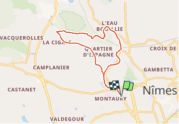

7,1 km | 8,4 km-effort


Gebruiker


Gratisgps-wandelapplicatie
 SityTrail
IGN / Geografische instituten
SityTrail World
De wereld gaat voor u open
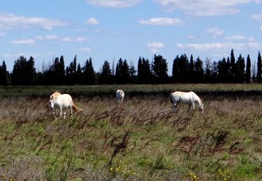
Tocht Stappen van 7,8 km beschikbaar op Occitanië, Gard, Nîmes. Deze tocht wordt voorgesteld door jll7513.
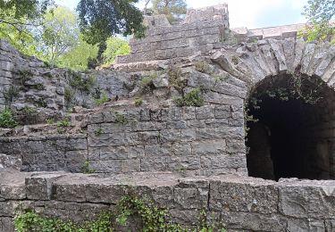
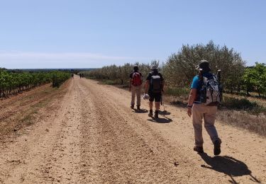
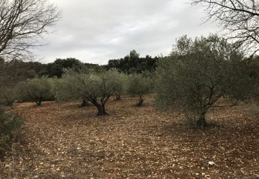
Départ du lycée Albert Camus Avenue Georges Pompidou, puis le Cadereau, chapelle Sainte Rita Sainte Madeleine, bois des Espeisses et retour par chemin de la Cigale
Stappen
Stappen
Stappen
Stappen

Stappen
Stappen
Stappen
Stappen
Stappen