


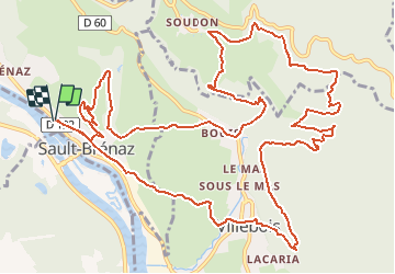


7,7 km | 8,5 km-effort


Gebruiker


Gratisgps-wandelapplicatie
 SityTrail
IGN / Geografische instituten
SityTrail World
De wereld gaat voor u open
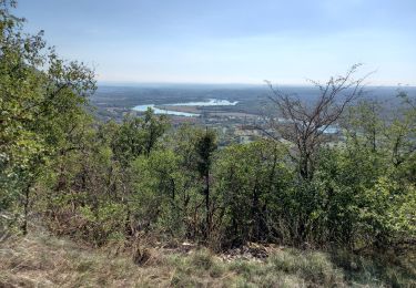
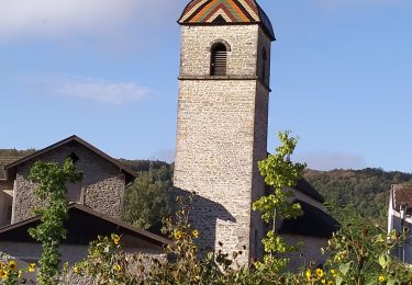
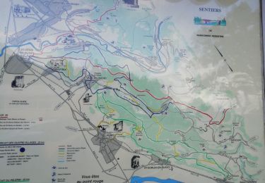
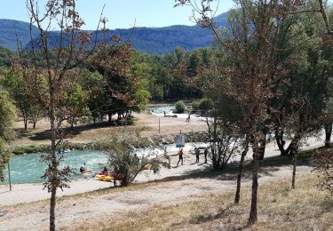
Tocht Stappen van 18,1 km beschikbaar op Auvergne-Rhône-Alpes, Ain, Sault-Brénaz. Deze tocht wordt voorgesteld door jmdumas.

Stappen
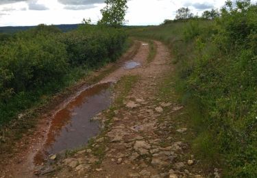
Stappen
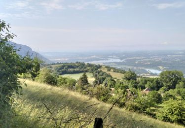
Stappen
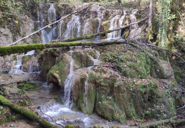
Stappen
Stappen
Stappen
Stappen

Mountainbike
Elektrische fiets