


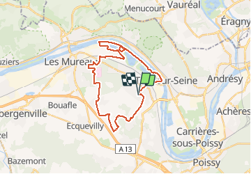

15,6 km | 18 km-effort


Gebruiker


Gratisgps-wandelapplicatie
 SityTrail
IGN / Geografische instituten
SityTrail World
De wereld gaat voor u open
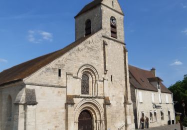
Tocht Mountainbike van 28 km beschikbaar op Île-de-France, Yvelines, Vernouillet. Deze tocht wordt voorgesteld door louisgef.
Balade au départ de Vernouillet direction la base de loisirs le long de la Seine, entrée dans la foret de Verneuil ensuite direction Chapet et retour par Marsinval.

Stappen
Stappen

Mountainbike
Stappen

Stappen

Stappen
Stappen

Lopen
Stappen