


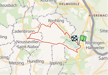

11,1 km | 13,9 km-effort


Gebruiker


Gratisgps-wandelapplicatie
 SityTrail
IGN / Geografische instituten
SityTrail World
De wereld gaat voor u open
Tocht Elektrische fiets van 12,4 km beschikbaar op Grand Est, Moselle, Sarreguemines. Deze tocht wordt voorgesteld door Micmon.
Au départ du lotissement du golf, le parcours se fait au bout d'un km sur la voie romaine direction ouest. De Nousseviller, le chemin du retour prend des voies agricoles à travers champs puis, en aval de Rouhling, on rejoint le tour du golf.
La promenade est sans difficulté et offre de belles vues sur les alentours, parfois les Vosges sont visibles en direction du Donon.

Te voet
Te voet
Te voet

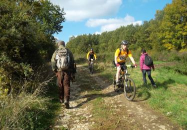
Mountainbike
Te voet
Stappen
Stappen

Stappen

Te voet